Crucecita night lights from space
Night Light of Crucecita (Oaxaca) from space (Mexico) Src. Average luminocity for 10x10km area is 24.6645% and for 50x50km: 1.6472%.
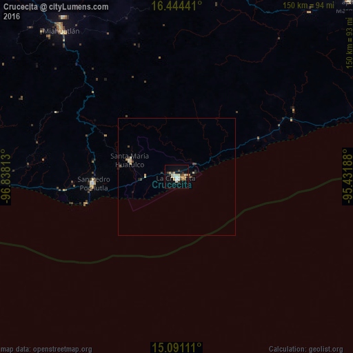
Analysis of Crucecita night lights 2016
Square area 10x10 km:
 2.81%
2.81%90-99
5.41%80-89
4.11%70-79
4.11%60-69
0.87%50-59
1.52%40-49
4.55%30-39
1.73%20-29
1.73%10-19
21.21%0-9
51.95%Square area 50x50 km:
0.11%90-99
0.34%80-89
0.29%70-79
0.26%60-69
0.03%50-59
0.06%40-49
0.43%30-39
0.11%20-29
0.23%10-19
0.93%0-9
97.21%Clear (daylight) street map image can be seen on geolist.org.
Map coordinates:
16° 26' 39.9" North, 96° 50' 17.3" West
15° 46' 8" North, 96° 8' 6" West
15° 5' 28" North, 95° 25' 54.8" West
Some cities around Crucecita sort by population:
• Puerto Escondido
101.4 km =63 mi,  276°
276°
• Miahuatlán de Porfirio Díaz
79.7 km =49.5 mi,  321°
321°
• San Pedro Pochutla
35.5 km =22.1 mi,  265°
265°
• Brisas de Zicatela
97.3 km =60.5 mi, 274°
• Santa María Jalapa del Marqués
104.9 km =65.2 mi,  44°
44°
• Jalapa
108.2 km =67.2 mi, 41°
• Santa María Huatulco
21.1 km =13.1 mi,  289°
289°
• Bajos de Chila
106.9 km =66.4 mi, 279°
8858124 (p: 15,130)
Sources (retrieved 2019-11-25):
» Earth at Night: Flat Maps 2012, 2016