Puerto Escondido night lights from space
Night Light of Puerto Escondido (Oaxaca) from space (Mexico) Src. Average luminocity for 10x10km area is 27.2251% and for 50x50km: 1.4305%.
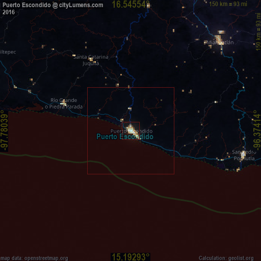
Analysis of Puerto Escondido night lights 2016
Square area 10x10 km:
 1.08%
1.08%90-99
5.41%80-89
5.63%70-79
4.76%60-69
3.46%50-59
3.68%40-49
3.46%30-39
3.25%20-29
0.87%10-19
22.29%0-9
46.1%Square area 50x50 km:
0.04%90-99
0.24%80-89
0.25%70-79
0.18%60-69
0.23%50-59
0.18%40-49
0.2%30-39
0.21%20-29
0.09%10-19
0.93%0-9
97.44%Clear (daylight) street map image can be seen on geolist.org.
Map coordinates:
16° 32' 43.9" North, 97° 46' 49.4" West
15° 52' 13.3" North, 97° 4' 38.1" West
15° 11' 34.5" North, 96° 22' 26.9" West
Some cities around Puerto Escondido sort by population:
• Miahuatlán de Porfirio Díaz
72.7 km =45.2 mi,  45°
45°
• San Pedro Pochutla
66.8 km =41.5 mi,  101°
101°
• Río Grande
41.4 km =25.7 mi,  292°
292°
• Brisas de Zicatela
5.3 km =3.3 mi,  134°
134°
• Santa Catarina Juquila
46.9 km =29.1 mi,  330°
330°
• San Miguel Panixtlahuaca
53.9 km =33.5 mi,  323°
323°
• Bajos de Chila
7.5 km =4.7 mi, 321°
• Santos Reyes Nopala
27.3 km =17 mi,  344°
344°
3520994 (p: 25,902)
Sources (retrieved 2019-11-25):
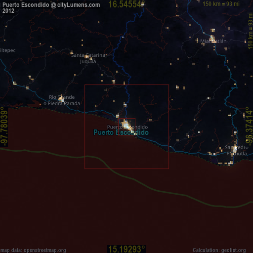
» Earth at Night: Flat Maps 2012, 2016