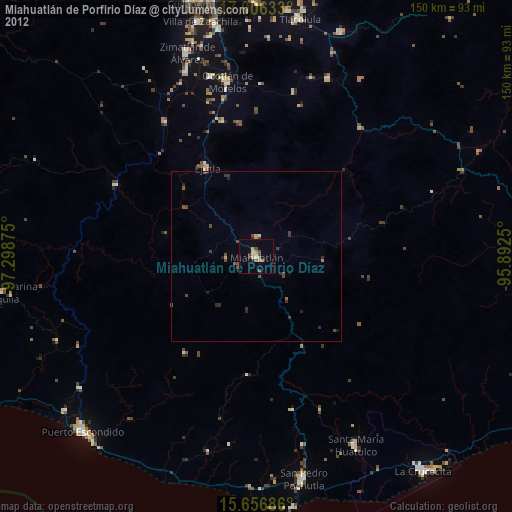
Miahuatlán de Porfirio Díaz night lights from space
Night Light of Miahuatlán de Porfirio Díaz (Oaxaca) from space (Mexico) Src. Average luminocity for 10x10km area is 22.6136% and for 50x50km: 1.7073%.
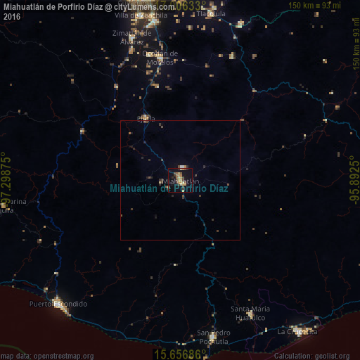
Analysis of Miahuatlán de Porfirio Díaz night lights 2016
Square area 10x10 km:
 0%
0%90-99
1.65%80-89
2.69%70-79
7.44%60-69
3.1%50-59
2.69%40-49
6.4%30-39
2.48%20-29
2.48%10-19
19.83%0-9
51.24%Square area 50x50 km:
0.03%90-99
0.11%80-89
0.15%70-79
0.31%60-69
0.17%50-59
0.19%40-49
0.59%30-39
0.41%20-29
0.52%10-19
1.02%0-9
96.51%Clear (daylight) street map image can be seen on geolist.org.
Map coordinates:
17° 0' 22.8" North, 97° 17' 55.5" West
16° 19' 57.9" North, 96° 35' 44.2" West
15° 39' 24.7" North, 95° 53' 33" West
Some cities around Miahuatlán de Porfirio Díaz sort by population:
• Ocotlán de Morelos
51.7 km =32.1 mi,  350°
350°
• Zimatlán de Álvarez
63 km =39.1 mi,  341°
341°
• Ejutla de Crespo
29.7 km =18.5 mi,  330°
330°
• San Pablo Huixtepec
57.6 km =35.8 mi, 339°
• Santa María Huatulco
62.9 km =39.1 mi,  152°
152°
• San Dionisio Ocotepec
56.7 km =35.2 mi,  22°
22°
• San Antonino Castillo Velasco
52.9 km =32.9 mi, 349°
• Santos Reyes Nopala
63.7 km =39.6 mi,  246°
246°
3523240 (p: 23,940)
Sources (retrieved 2019-11-25):
» Earth at Night: Flat Maps 2012, 2016