Azcapotzalco night lights from space
Night Light of Azcapotzalco (Mexico City) from space (Mexico) Src. Average luminocity for 10x10km area is 99.9112% and for 50x50km: 83.904%.
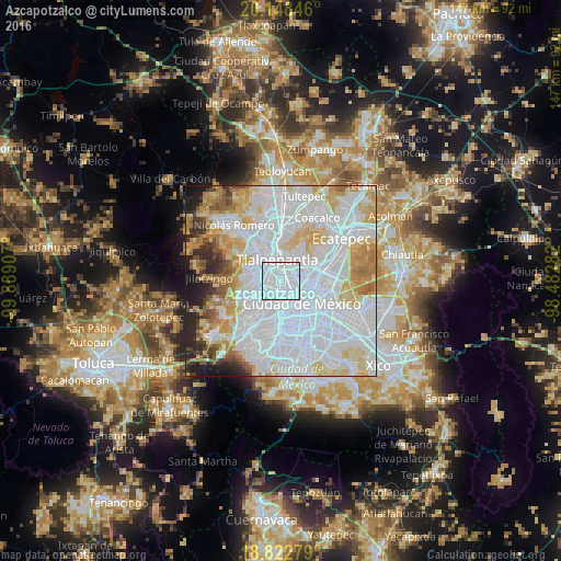
Analysis of Azcapotzalco night lights 2016
Square area 10x10 km:
 92.15%
90-99
7.85%80-89
0%70-79
0%60-69
0%50-59
0%40-49
0%30-39
0%20-29
0%10-19
0%0-9
0%Square area 50x50 km:
45.64%90-99
15.06%80-89
10.79%70-79
7.76%60-69
5.51%50-59
3.04%40-49
2.59%30-39
2.55%20-29
4.11%10-19
2.89%0-9
0.06%Clear (daylight) street map image can be seen on geolist.org.
Map coordinates:
20° 8' 54.5" North, 99° 53' 20.7" West
19° 29' 13.1" North, 99° 11' 9.4" West
18° 49' 22" North, 98° 28' 58.2" West
Some cities around Azcapotzalco sort by population:
• Gustavo Adolfo Madero
7.9 km =4.9 mi,  84°
84°
• Naucalpan de Juárez
5.7 km =3.5 mi,  260°
260°
• Tlalnepantla
6 km =3.7 mi,  350°
350°
• Cuauhtémoc
6.3 km =3.9 mi,  138°
138°
• Miguel Hidalgo
6.1 km =3.8 mi,  194°
194°
• Colonia Lindavista
6.4 km =4 mi,  85°
85°
• Polanco
6.1 km =3.8 mi, 193°
• Vista Hermosa
5.1 km =3.2 mi,  309°
309°
3532497 (p: 414,711)
Sources (retrieved 2019-11-25):
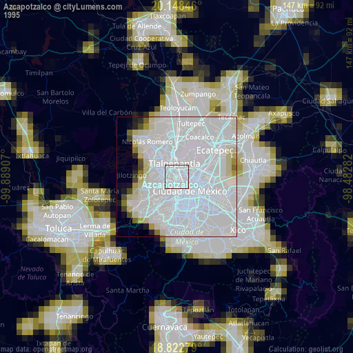
» NASA, Earths city lights 1995
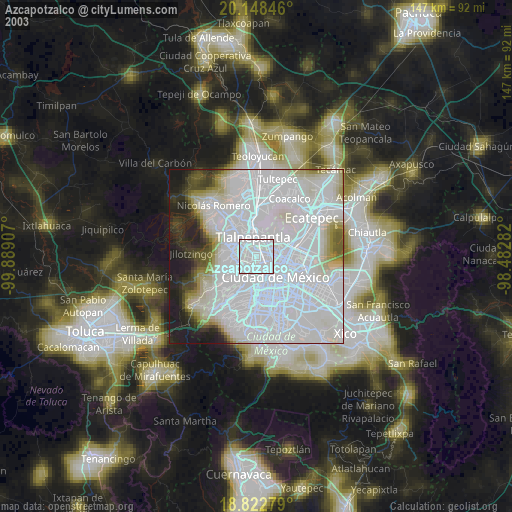
» NASA city lights 2003
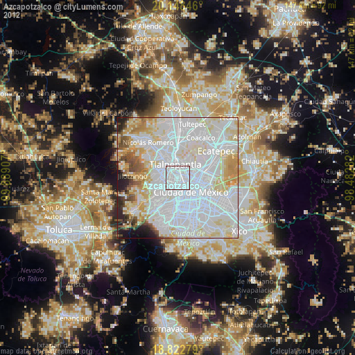
» Earth at Night: Flat Maps 2012, 2016