Chapala night lights from space
Night Light of Chapala (Jalisco) from space (Mexico) Src. Average luminocity for 10x10km area is 25.0635% and for 50x50km: 15.9502%.
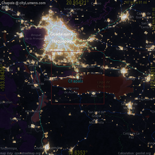
Analysis of Chapala night lights 2016
Square area 10x10 km:
 0.79%
0.79%90-99
0.79%80-89
3.17%70-79
7.54%60-69
3.57%50-59
3.17%40-49
6.75%30-39
2.98%20-29
2.58%10-19
33.53%0-9
35.12%Square area 50x50 km:
1.11%90-99
1.58%80-89
3.48%70-79
3.18%60-69
2.52%50-59
1.99%40-49
3.35%30-39
2.58%20-29
3.28%10-19
6.84%0-9
70.1%Clear (daylight) street map image can be seen on geolist.org.
Map coordinates:
20° 57' 15.2" North, 103° 53' 39.7" West
20° 17' 46.2" North, 103° 11' 28.4" West
19° 38' 7.1" North, 102° 29' 17.2" West
Some cities around Chapala sort by population:
• Ajijic
6.7 km =4.2 mi,  276°
276°
• Los Olivos
16.6 km =10.3 mi,  343°
343°
• Atotonilquillo
12.9 km =8 mi,  33°
33°
• San Juan Cosalá
15.7 km =9.8 mi,  266°
266°
• Atequiza
11.7 km =7.3 mi, 26°
• Ixtlahuacán de los Membrillos
5.8 km =3.6 mi,  357°
357°
• Cajititlán
19.5 km =12.1 mi,  320°
320°
• Mezcala
18.6 km =11.6 mi,  76°
76°
4014553 (p: 21,596)
Sources (retrieved 2019-11-25):
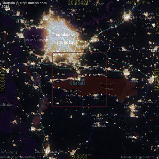
» Earth at Night: Flat Maps 2012, 2016