Cárdenas night lights from space
Night Light of Cárdenas (San Luis Potosí) from space (Mexico) Src. Average luminocity for 10x10km area is 5.3889% and for 50x50km: 0.579%.
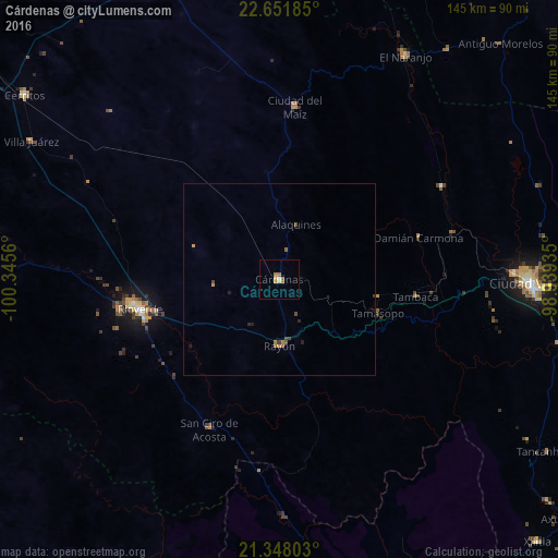
Analysis of Cárdenas night lights 2016
Square area 10x10 km:
 0%
0%90-99
0.79%80-89
0.79%70-79
0.99%60-69
2.18%50-59
1.59%40-49
0%30-39
0%20-29
0%10-19
0%0-9
93.65%Square area 50x50 km:
0%90-99
0.03%80-89
0.03%70-79
0.13%60-69
0.16%50-59
0.19%40-49
0.12%30-39
0.09%20-29
0.12%10-19
0.09%0-9
99.03%Clear (daylight) street map image can be seen on geolist.org.
Map coordinates:
22° 39' 6.7" North, 100° 20' 44.2" West
22° 0' 5.2" North, 99° 38' 32.9" West
21° 20' 52.9" North, 98° 56' 21.7" West
Some cities around Cárdenas sort by population:
• Ciudad Valles
65.1 km =40.5 mi,  90°
90°
• Rioverde
37.2 km =23.1 mi,  257°
257°
• Ciudad Fernández
38.7 km =24 mi, 259°
• Cerritos
81.4 km =50.6 mi,  305°
305°
• El Naranjo
66.6 km =41.4 mi,  28°
28°
• Ciudad del Maíz
44.7 km =27.8 mi,  4°
4°
• San Ciro de Acosta
43.1 km =26.8 mi,  205°
205°
• Rayón
17.6 km =10.9 mi,  180°
180°
3531574 (p: 15,469)
Sources (retrieved 2019-11-25):
» Earth at Night: Flat Maps 2012, 2016