Rayón night lights from space
Night Light of Rayón (San Luis Potosí) from space (Mexico) Src. Average luminocity for 10x10km area is 4.3254% and for 50x50km: 0.607%.
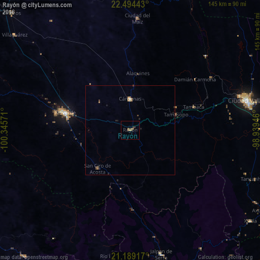
Analysis of Rayón night lights 2016
Square area 10x10 km:
 0%
0%90-99
0%80-89
0%70-79
0.6%60-69
1.79%50-59
2.18%40-49
0.79%30-39
1.79%20-29
0%10-19
0%0-9
92.86%Square area 50x50 km:
0%90-99
0.03%80-89
0.03%70-79
0.11%60-69
0.18%50-59
0.19%40-49
0.14%30-39
0.12%20-29
0.19%10-19
0.09%0-9
98.92%Clear (daylight) street map image can be seen on geolist.org.
Map coordinates:
22° 29' 39.9" North, 100° 20' 44.6" West
21° 50' 35.8" North, 99° 38' 33.3" West
21° 11' 21" North, 98° 56' 22.1" West
Some cities around Rayón sort by population:
• Ciudad Valles
67.3 km =41.8 mi,  75°
75°
• Rioverde
37.6 km =23.4 mi,  285°
285°
• Ciudad Fernández
39.6 km =24.6 mi, 285°
• Cárdenas
17.6 km =10.9 mi,  0°
0°
• Jalpan
71.7 km =44.6 mi,  165°
165°
• El Naranjo
82.5 km =51.3 mi,  22°
22°
• Ciudad del Maíz
62.2 km =38.6 mi, 3°
• San Ciro de Acosta
28.1 km =17.5 mi,  220°
220°
3520427 (p: 5,928)
Sources (retrieved 2019-11-25):
» Earth at Night: Flat Maps 2012, 2016