Calderitas night lights from space
Night Light of Calderitas (Quintana Roo) from space (Mexico) Src. Average luminocity for 10x10km area is 27.9545% and for 50x50km: 5.1512%.
Analysis of Calderitas night lights 2016
Square area 10x10 km:
 4.34%
4.34%90-99
7.02%80-89
8.06%70-79
0.62%60-69
1.65%50-59
1.03%40-49
2.27%30-39
2.89%20-29
4.34%10-19
21.49%0-9
46.28%Square area 50x50 km:
0.74%90-99
0.81%80-89
1.05%70-79
0.4%60-69
0.46%50-59
0.38%40-49
0.5%30-39
0.41%20-29
1.06%10-19
4.13%0-9
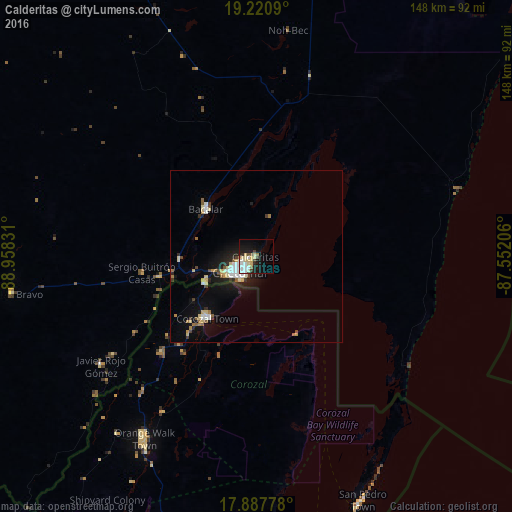
90.07%Clear (daylight) street map image can be seen on geolist.org.
Map coordinates:
19° 13' 15.2" North, 88° 57' 29.9" West
18° 33' 20.3" North, 88° 15' 18.6" West
17° 53' 16" North, 87° 33' 7.4" West
Some cities around Calderitas sort by population:
• Chetumal
6.9 km =4.3 mi,  228°
228°
• Belize City, BZ
117.6 km =73.1 mi,  177°
177°
• Felipe Carrillo Puerto
115.7 km =71.9 mi,  10°
10°
• Orange Walk, BZ
62 km =38.5 mi,  211°
211°
• José María Morelos
141 km =87.6 mi,  340°
340°
• Bacalar
20.2 km =12.6 mi,  313°
313°
• Corozal, BZ
22.8 km =14.2 mi,  217°
217°
• San Pedro, BZ
77.4 km =48.1 mi,  156°
156°
3531816 (p: 5,326)
Sources (retrieved 2019-11-25):
» Earth at Night: Flat Maps 2012, 2016