Felipe Carrillo Puerto night lights from space
Night Light of Felipe Carrillo Puerto (Quintana Roo) from space (Mexico) Src. Average luminocity for 10x10km area is 16.5537% and for 50x50km: 0.8233%.
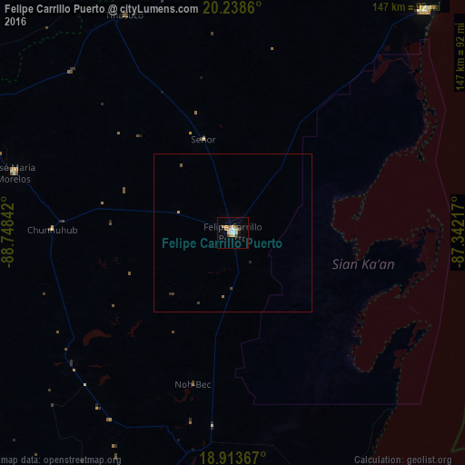
Analysis of Felipe Carrillo Puerto night lights 2016
Square area 10x10 km:
 2.07%
2.07%90-99
1.24%80-89
6.2%70-79
1.65%60-69
2.69%50-59
0.21%40-49
1.86%30-39
0.62%20-29
0.41%10-19
1.65%0-9
81.4%Square area 50x50 km:
0.08%90-99
0.05%80-89
0.25%70-79
0.09%60-69
0.14%50-59
0.04%40-49
0.11%30-39
0.1%20-29
0.06%10-19
0.06%0-9
99.01%Clear (daylight) street map image can be seen on geolist.org.
Map coordinates:
20° 14' 19" North, 88° 44' 54.3" West
19° 34' 39" North, 88° 2' 43" West
18° 54' 49.2" North, 87° 20' 31.8" West
Some cities around Felipe Carrillo Puerto sort by population:
• Peto
110.3 km =68.5 mi,  303°
303°
• Tulum
93.1 km =57.8 mi,  40°
40°
• Chemax
120.5 km =74.9 mi,  5°
5°
• José María Morelos
72 km =44.7 mi,  285°
285°
• Bacalar
106.2 km =66 mi,  200°
200°
• Tzucacab
118.6 km =73.7 mi, 297°
• Chichimila
118.6 km =73.7 mi,  351°
351°
• Calderitas
115.7 km =71.9 mi,  190°
190°
3527639 (p: 25,744)
Sources (retrieved 2019-11-25):
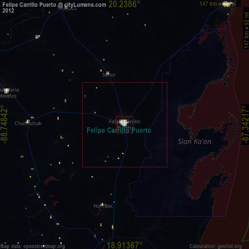
» Earth at Night: Flat Maps 2012, 2016