San Pedro night lights from space
Night Light of San Pedro (Belize) from space (Belize) Src. Average luminocity for 10x10km area is 11.816% and for 50x50km: 0.6231%.
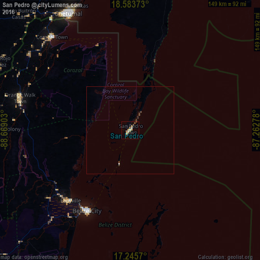
Analysis of San Pedro night lights 2016
Square area 10x10 km:
 1.95%
1.95%90-99
0.65%80-89
1.52%70-79
3.68%60-69
1.52%50-59
2.38%40-49
0.87%30-39
0%20-29
0%10-19
0.43%0-9
87.01%Square area 50x50 km:
0.09%90-99
0.04%80-89
0.06%70-79
0.14%60-69
0.07%50-59
0.09%40-49
0.13%30-39
0.08%20-29
0.08%10-19
0.03%0-9
99.18%Clear (daylight) street map image can be seen on geolist.org.
Map coordinates:
18° 35' 1.4" North, 88° 40' 8.5" West
17° 54' 57.5" North, 87° 57' 57.2" West
17° 14' 44.5" North, 87° 15' 46" West
Some cities around San Pedro sort by population:
• Chetumal, MX
75.5 km =46.9 mi,  331°
331°
• Belize City
52.4 km =32.6 mi,  207°
207°
• Orange Walk
65.8 km =40.9 mi,  286°
286°
• Belmopan
112.6 km =70 mi,  228°
228°
• Bacalar, MX
96.3 km =59.8 mi, 332°
• Dangriga
109 km =67.7 mi,  195°
195°
• Corozal
69.4 km =43.1 mi,  319°
319°
• Calderitas, MX
77.4 km =48.1 mi,  336°
336°
3581164 (p: 8,418)
Sources (retrieved 2019-11-25):
» Earth at Night: Flat Maps 2012, 2016