Belize City night lights from space
Night Light of Belize City (Belize) from space (Belize) Src. Average luminocity for 10x10km area is 26.8079% and for 50x50km: 2.7309%.
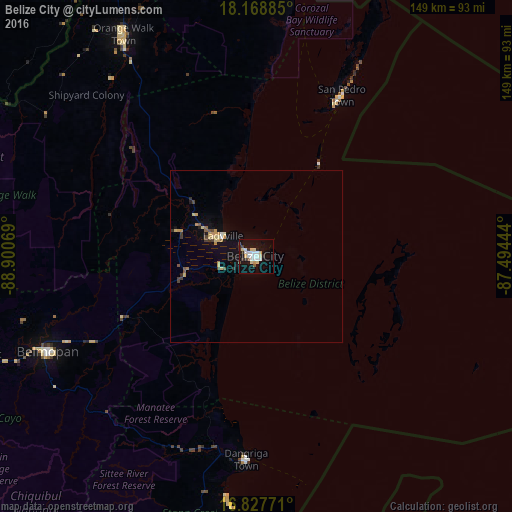
Analysis of Belize City night lights 2016
Square area 10x10 km:
 6.2%
6.2%90-99
5.79%80-89
4.55%70-79
2.48%60-69
0%50-59
0.83%40-49
2.48%30-39
1.65%20-29
4.13%10-19
27.89%0-9
44.01%Square area 50x50 km:
0.27%90-99
0.28%80-89
0.52%70-79
0.48%60-69
0.14%50-59
0.21%40-49
0.4%30-39
0.29%20-29
0.36%10-19
2.01%0-9
95.05%Clear (daylight) street map image can be seen on geolist.org.
Map coordinates:
18° 10' 7.9" North, 88° 54' 2.5" West
17° 29' 58.3" North, 88° 11' 51.2" West
16° 49' 39.8" North, 87° 29' 40" West
Some cities around Belize City sort by population:
• San Ignacio
100 km =62.1 mi,  247°
247°
• Orange Walk
75.4 km =46.9 mi,  329°
329°
• Belmopan
66.5 km =41.3 mi, 245°
• Melchor de Mencos, GT
112.2 km =69.7 mi,  244°
244°
• Dangriga
59 km =36.7 mi,  183°
183°
• Corozal
101.5 km =63.1 mi,  348°
348°
• San Pedro
52.4 km =32.6 mi,  27°
27°
• Benque Viejo el Carmen
110.6 km =68.7 mi, 244°
3582677 (p: 61,461)
Sources (retrieved 2019-11-25):
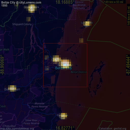
» NASA, Earths city lights 1995
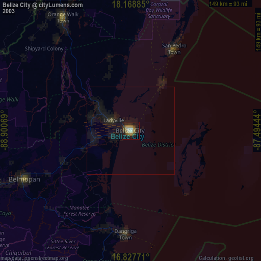
» NASA city lights 2003
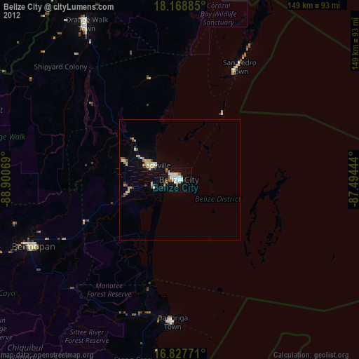
» Earth at Night: Flat Maps 2012, 2016