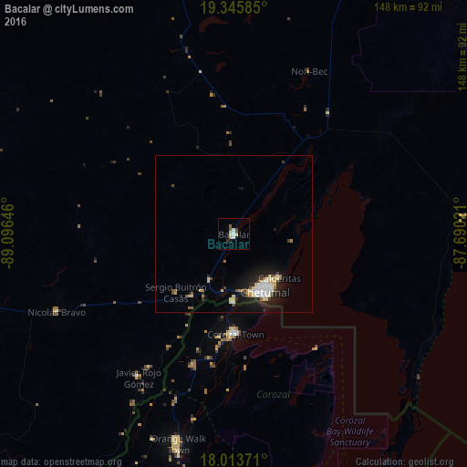
Bacalar night lights from space
Night Light of Bacalar (Quintana Roo) from space (Mexico) Src. Average luminocity for 10x10km area is 10.0021% and for 50x50km: 4.2697%.
Analysis of Bacalar night lights 2016
Square area 10x10 km:
 1.45%
1.45%90-99
2.27%80-89
2.07%70-79
0.83%60-69
0%50-59
1.65%40-49
0.83%30-39
1.65%20-29
0%10-19
0.83%0-9
88.43%Square area 50x50 km:
0.64%90-99
0.71%80-89
0.89%70-79
0.32%60-69
0.29%50-59
0.38%40-49
0.43%30-39
0.37%20-29
1.02%10-19
3.43%0-9
91.5%Clear (daylight) street map image can be seen on geolist.org.
Map coordinates:
19° 20' 45.1" North, 89° 5' 47.3" West
18° 40' 51.9" North, 88° 23' 36" West
18° 0' 49.4" North, 87° 41' 24.8" West
Some cities around Bacalar sort by population:
• Chetumal
20.8 km =12.9 mi,  153°
153°
• Belize City, BZ
133 km =82.6 mi,  171°
171°
• Felipe Carrillo Puerto
106.2 km =66 mi,  20°
20°
• Orange Walk, BZ
69.1 km =42.9 mi,  195°
195°
• José María Morelos
123.3 km =76.6 mi,  344°
344°
• Corozal, BZ
32 km =19.9 mi,  179°
179°
• San Pedro, BZ
96.3 km =59.8 mi, 152°
• Calderitas
20.2 km =12.6 mi,  133°
133°
3532465 (p: 11,513)
Sources (retrieved 2019-11-25):
» Earth at Night: Flat Maps 2012, 2016