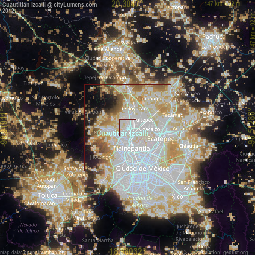
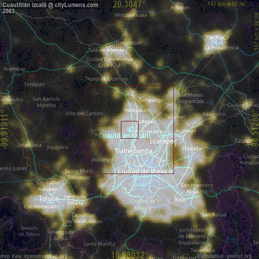
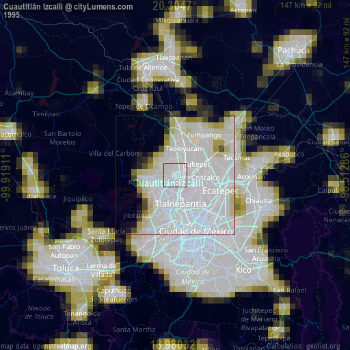
Cuautitlán Izcalli night lights from space
Night Light of Cuautitlán Izcalli (México) from space (Mexico) Src. Average luminocity for 10x10km area is 98.6405% and for 50x50km: 68.7733%.
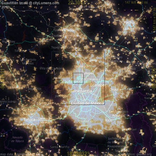
Analysis of Cuautitlán Izcalli night lights 2016
Square area 10x10 km:
 71.28%
90-99
23.76%80-89
4.13%70-79
0.83%60-69
0%50-59
0%40-49
0%30-39
0%20-29
0%10-19
0%0-9
0%Square area 50x50 km:
27.88%90-99
12.11%80-89
10.23%70-79
9.69%60-69
7.96%50-59
5.13%40-49
3.87%30-39
4.01%20-29
4.06%10-19
6.09%0-9
8.97%Clear (daylight) street map image can be seen on geolist.org.
Map coordinates:
20° 18' 16.9" North, 99° 55' 8.8" West
19° 38' 38" North, 99° 12' 57.5" West
18° 58' 49.2" North, 98° 30' 46.3" West
Some cities around Cuautitlán Izcalli sort by population:
• Buenavista
6.3 km =3.9 mi,  129°
129°
• Fuentes del Valle
8.2 km =5.1 mi,  98°
98°
• Tepotzotlán
8.6 km =5.3 mi,  354°
354°
• Tultitlán de Mariano Escobedo
5 km =3.1 mi,  86°
86°
• Huilango
5.9 km =3.7 mi,  313°
313°
• Ampliación San Mateo (Colonia Solidaridad)
7.8 km =4.8 mi,  112°
112°
• San Mateo Xoloc
7.7 km =4.8 mi,  334°
334°
• San Mateo Ixtacalco
7.7 km =4.8 mi,  37°
37°
3515807 (p: 484,573)
Sources (retrieved 2019-11-25):
» NASA, Earths city lights 1995
» NASA city lights 2003
» Earth at Night: Flat Maps 2012, 2016