Ascención night lights from space
Night Light of Ascención (Chihuahua) from space (Mexico) Src. Average luminocity for 10x10km area is 8.6996% and for 50x50km: 0.4983%.
Analysis of Ascención night lights 2016
Square area 10x10 km:
 0.37%
0.37%90-99
1.1%80-89
1.47%70-79
2.75%60-69
2.38%50-59
0.73%40-49
0.18%30-39
0.55%20-29
0.73%10-19
0.55%0-9
89.19%Square area 50x50 km:
0.01%90-99
0.04%80-89
0.06%70-79
0.23%60-69
0.1%50-59
0.03%40-49
0.04%30-39
0.08%20-29
0.03%10-19
0.02%0-9
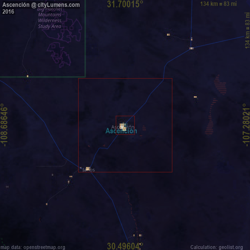
99.35%Clear (daylight) street map image can be seen on geolist.org.
Map coordinates:
31° 42' 0.5" North, 108° 41' 11.3" West
31° 6' 0" North, 107° 58' 60" West
30° 29' 45.7" North, 107° 16' 48.8" West
Some cities around Ascención sort by population:
• Nuevo Casas Grandes
76.4 km =47.5 mi,  174°
174°
• Deming, US
131.7 km =81.8 mi,  9°
9°
• Miguel Ahumada
150.3 km =93.4 mi,  110°
110°
• San Buenaventura
148.4 km =92.2 mi,  160°
160°
• Benito Juárez
150.6 km =93.6 mi,  178°
178°
• Ejido Benito Juárez
149.1 km =92.6 mi,  135°
135°
• Puerto Palomas
82.3 km =51.1 mi,  23°
23°
• Casas Grandes
79.8 km =49.6 mi, 178°
4018109 (p: 11,781)
Sources (retrieved 2019-11-25):
» Earth at Night: Flat Maps 2012, 2016