Deming night lights from space
Night Light of Deming (New Mexico) from space (United States) Src. Average luminocity for 10x10km area is 30.2674% and for 50x50km: 1.4466%.
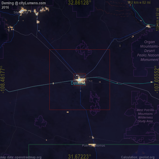
Analysis of Deming night lights 2016
Square area 10x10 km:
 2.93%
2.93%90-99
4.4%80-89
1.28%70-79
10.99%60-69
5.31%50-59
1.1%40-49
5.68%30-39
2.01%20-29
2.75%10-19
31.32%0-9
32.23%Square area 50x50 km:
0.12%90-99
0.18%80-89
0.05%70-79
0.47%60-69
0.21%50-59
0.04%40-49
0.24%30-39
0.15%20-29
0.2%10-19
1.37%0-9
96.97%Clear (daylight) street map image can be seen on geolist.org.
Map coordinates:
32° 51' 40.6" North, 108° 27' 42.4" West
32° 16' 7.3" North, 107° 45' 31.1" West
31° 40' 20" North, 107° 3' 19.9" West
Some cities around Deming sort by population:
• Las Cruces
92.3 km =57.4 mi,  86°
86°
• Sunland Park
122.9 km =76.4 mi,  115°
115°
• Silver City
74.2 km =46.1 mi,  318°
318°
• Anthony
112.5 km =69.9 mi,  105°
105°
• Canutillo
116.1 km =72.1 mi, 110°
• Truth or Consequences
106.7 km =66.3 mi,  26°
26°
• Puerto Palomas, MX
55.9 km =34.7 mi,  167°
167°
• Anthony
112.6 km =70 mi, 105°
5464806 (p: 14,522)
Sources (retrieved 2019-11-25):
» Earth at Night: Flat Maps 2012, 2016