Ejido Benito Juárez night lights from space
Night Light of Ejido Benito Juárez (Chihuahua) from space (Mexico) Src. Average luminocity for 10x10km area is 5.0871% and for 50x50km: 0.4185%.
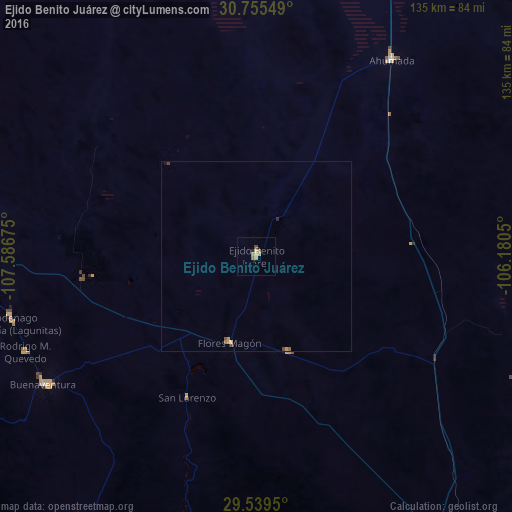
Analysis of Ejido Benito Juárez night lights 2016
Square area 10x10 km:
 0%
0%90-99
0%80-89
1.14%70-79
2.65%60-69
1.52%50-59
0%40-49
0.76%30-39
0%20-29
0.76%10-19
0%0-9
93.18%Square area 50x50 km:
0%90-99
0%80-89
0.07%70-79
0.2%60-69
0.1%50-59
0.05%40-49
0.12%30-39
0%20-29
0.06%10-19
0.03%0-9
99.37%Clear (daylight) street map image can be seen on geolist.org.
Map coordinates:
30° 45' 19.8" North, 107° 35' 12.3" West
30° 8' 57.7" North, 106° 53' 1" West
29° 32' 22.2" North, 106° 10' 49.8" West
Some cities around Ejido Benito Juárez sort by population:
• Nuevo Casas Grandes
103.1 km =64.1 mi,  286°
286°
• Ascensión
149.5 km =92.9 mi,  314°
314°
• Ascención
149.1 km =92.6 mi,  315°
315°
• Miguel Ahumada
63.2 km =39.3 mi,  34°
34°
• San Buenaventura
65.2 km =40.5 mi,  238°
238°
• Benito Juárez
111.2 km =69.1 mi,  246°
246°
• Gómez Farías
120.6 km =74.9 mi,  223°
223°
• Casas Grandes
106.2 km =66 mi,  284°
284°
3976059 (p: 5,778)
Sources (retrieved 2019-11-25):
» Earth at Night: Flat Maps 2012, 2016