Miguel Ahumada night lights from space
Night Light of Miguel Ahumada (Chihuahua) from space (Mexico) Src. Average luminocity for 10x10km area is 7.5962% and for 50x50km: 0.3422%.
Analysis of Miguel Ahumada night lights 2016
Square area 10x10 km:
 0.87%
0.87%90-99
1.22%80-89
0.35%70-79
2.97%60-69
0.7%50-59
0.87%40-49
1.4%30-39
0%20-29
0%10-19
0%0-9
91.61%Square area 50x50 km:
0.04%90-99
0.05%80-89
0.01%70-79
0.12%60-69
0.06%50-59
0.04%40-49
0.06%30-39
0%20-29
0%10-19
0%0-9
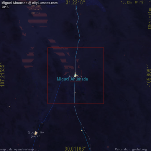
99.62%Clear (daylight) street map image can be seen on geolist.org.
Map coordinates:
31° 13' 18.5" North, 107° 12' 55.3" West
30° 37' 7" North, 106° 30' 44" West
30° 0' 41.9" North, 105° 48' 32.8" West
Some cities around Miguel Ahumada sort by population:
• Juárez
122.6 km =76.2 mi,  2°
2°
• Socorro, US
116.9 km =72.6 mi,  9°
9°
• Socorro Mission Number 1 Colonia, US
115.1 km =71.5 mi, 10°
• Horizon City, US
122.9 km =76.4 mi, 13°
• San Elizario, US
109.9 km =68.3 mi, 11°
• Fabens, US
103.9 km =64.6 mi,  18°
18°
• San Buenaventura
125.4 km =77.9 mi,  226°
226°
• Ejido Benito Juárez
63.2 km =39.3 mi,  214°
214°
3980207 (p: 8,575)
Sources (retrieved 2019-11-25):
» Earth at Night: Flat Maps 2012, 2016