Benito Juárez night lights from space
Night Light of Benito Juárez (Chihuahua) from space (Mexico) Src. Average luminocity for 10x10km area is 0% and for 50x50km: 0.3423%.
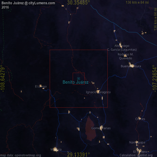
Analysis of Benito Juárez night lights 2016
Square area 10x10 km:
 0%
0%90-99
0%80-89
0%70-79
0%60-69
0%50-59
0%40-49
0%30-39
0%20-29
0%10-19
0%0-9
100%Square area 50x50 km:
0%90-99
0%80-89
0.01%70-79
0.11%60-69
0.04%50-59
0.17%40-49
0.1%30-39
0.08%20-29
0%10-19
0.03%0-9
99.46%Clear (daylight) street map image can be seen on geolist.org.
Map coordinates:
30° 21' 17.5" North, 108° 38' 34" West
29° 44' 46.5" North, 107° 56' 22.8" West
29° 8' 2.1" North, 107° 14' 11.5" West
Some cities around Benito Juárez sort by population:
• Nuevo Casas Grandes
74.5 km =46.3 mi,  2°
2°
• Madera
64.6 km =40.1 mi,  198°
198°
• Ascensión
149.8 km =93.1 mi,  357°
357°
• Guerrero
140.3 km =87.2 mi,  161°
161°
• San Buenaventura
47.5 km =29.5 mi,  76°
76°
• Ejido Benito Juárez
111.2 km =69.1 mi,  66°
66°
• Gómez Farías
47.1 km =29.3 mi, 155°
• Casas Grandes
70.8 km =44 mi, 358°
4017154 (p: 6,138)
Sources (retrieved 2019-11-25):
» Earth at Night: Flat Maps 2012, 2016