San Buenaventura night lights from space
Night Light of San Buenaventura (Chihuahua) from space (Mexico) Src. Average luminocity for 10x10km area is 10.746% and for 50x50km: 0.7624%.
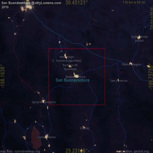
Analysis of San Buenaventura night lights 2016
Square area 10x10 km:
 0%
0%90-99
0.79%80-89
1.39%70-79
5.75%60-69
0.99%50-59
0.6%40-49
1.19%30-39
0.6%20-29
2.18%10-19
0%0-9
86.51%Square area 50x50 km:
0%90-99
0.03%80-89
0.1%70-79
0.33%60-69
0.12%50-59
0.1%40-49
0.13%30-39
0.02%20-29
0.13%10-19
0.04%0-9
98.99%Clear (daylight) street map image can be seen on geolist.org.
Map coordinates:
30° 27' 4.4" North, 108° 9' 49.7" West
29° 50' 35.5" North, 107° 27' 38.4" West
29° 13' 53.3" North, 106° 45' 27.2" West
Some cities around San Buenaventura sort by population:
• Nuevo Casas Grandes
77 km =47.8 mi,  325°
325°
• Madera
98.1 km =61 mi,  222°
222°
• Miguel Ahumada
125.4 km =77.9 mi,  46°
46°
• Guerrero
143.9 km =89.4 mi,  180°
180°
• Benito Juárez
47.5 km =29.5 mi,  256°
256°
• Ejido Benito Juárez
65.2 km =40.5 mi,  58°
58°
• Gómez Farías
60.1 km =37.3 mi,  206°
206°
• Casas Grandes
76.6 km =47.6 mi,  321°
321°
4016722 (p: 6,957)
Sources (retrieved 2019-11-25):
» Earth at Night: Flat Maps 2012, 2016