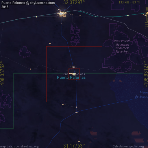
Puerto Palomas night lights from space
Night Light of Puerto Palomas (Chihuahua) from space (Mexico) Src. Average luminocity for 10x10km area is 8.0788% and for 50x50km: 0.4014%.
Analysis of Puerto Palomas night lights 2016
Square area 10x10 km:
 0%
0%90-99
0%80-89
1.1%70-79
2.38%60-69
3.85%50-59
0%40-49
2.2%30-39
0%20-29
0.73%10-19
0%0-9
89.74%Square area 50x50 km:
0%90-99
0%80-89
0.04%70-79
0.12%60-69
0.15%50-59
0.03%40-49
0.12%30-39
0%20-29
0.04%10-19
0.05%0-9
99.45%Clear (daylight) street map image can be seen on geolist.org.
Map coordinates:
32° 22' 22.7" North, 108° 20' 15.1" West
31° 46' 37.8" North, 107° 38' 3.8" West
31° 10' 39.1" North, 106° 55' 52.6" West
Some cities around Puerto Palomas sort by population:
• Las Cruces, US
100.2 km =62.3 mi,  53°
53°
• Sunland Park, US
99.7 km =62 mi,  88°
88°
• Deming, US
55.9 km =34.7 mi,  347°
347°
• Ascensión
83.5 km =51.9 mi,  204°
204°
• Ascención
82.3 km =51.1 mi, 203°
• Anthony, US
100.3 km =62.3 mi,  75°
75°
• Canutillo, US
98.8 km =61.4 mi, 81°
• Anthony, US
100.2 km =62.3 mi, 75°
3991350 (p: 5,659)
Sources (retrieved 2019-11-25):
» Earth at Night: Flat Maps 2012, 2016