Aguililla night lights from space
Night Light of Aguililla (Michoacán) from space (Mexico) Src. Average luminocity for 10x10km area is 4.0227% and for 50x50km: 0.212%.
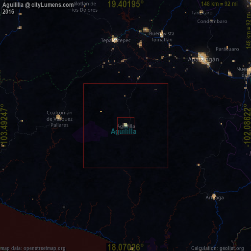
Analysis of Aguililla night lights 2016
Square area 10x10 km:
 0%
0%90-99
0%80-89
3.1%70-79
0.21%60-69
0%50-59
0%40-49
0.83%30-39
0.83%20-29
0%10-19
0.83%0-9
94.21%Square area 50x50 km:
0%90-99
0%80-89
0.12%70-79
0.04%60-69
0%50-59
0%40-49
0.06%30-39
0.03%20-29
0.03%10-19
0.06%0-9
99.64%Clear (daylight) street map image can be seen on geolist.org.
Map coordinates:
19° 24' 7" North, 103° 29' 32.9" West
18° 44' 14.7" North, 102° 47' 21.6" West
18° 4' 12.9" North, 102° 5' 10.4" West
Some cities around Aguililla sort by population:
• Apatzingán
59.9 km =37.2 mi,  49°
49°
• Tepalcatepec
50.3 km =31.3 mi,  352°
352°
• La Mira Tumbiscatio
53.6 km =33.3 mi,  96°
96°
• Coalcomán de Vázquez Pallares
39.3 km =24.4 mi,  276°
276°
• Arteaga
67.4 km =41.9 mi,  128°
128°
• Buenavista Tomatlán
57 km =35.4 mi,  21°
21°
• Felipe Carrillo Puerto
48.1 km =29.9 mi,  10°
10°
• Antúnez
68.8 km =42.8 mi,  63°
63°
4019152 (p: 8,801)
Sources (retrieved 2019-11-25):
» Earth at Night: Flat Maps 2012, 2016