Buenavista Tomatlán night lights from space
Night Light of Buenavista Tomatlán (Michoacán) from space (Mexico) Src. Average luminocity for 10x10km area is 6.7078% and for 50x50km: 2.322%.
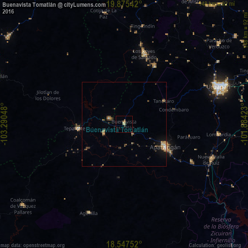
Analysis of Buenavista Tomatlán night lights 2016
Square area 10x10 km:
 0%
0%90-99
0.65%80-89
1.08%70-79
2.16%60-69
2.16%50-59
0.22%40-49
0.87%30-39
0%20-29
0.87%10-19
0.87%0-9
91.13%Square area 50x50 km:
0.02%90-99
0.19%80-89
0.25%70-79
0.55%60-69
0.32%50-59
0.37%40-49
0.75%30-39
0.55%20-29
0.2%10-19
1.06%0-9
95.75%Clear (daylight) street map image can be seen on geolist.org.
Map coordinates:
19° 52' 31.5" North, 103° 17' 25.7" West
19° 12' 46.1" North, 102° 35' 14.5" West
18° 32' 51.1" North, 101° 53' 3.2" West
Some cities around Buenavista Tomatlán sort by population:
• Apatzingán
27.9 km =17.3 mi,  119°
119°
• Los Reyes de Salgado
43.7 km =27.2 mi,  16°
16°
• Peribán de Ramos
38.7 km =24 mi,  28°
28°
• Tepalcatepec
27.7 km =17.2 mi,  263°
263°
• Felipe Carrillo Puerto
13.8 km =8.6 mi,  246°
246°
• Antúnez (Morelos)
46 km =28.6 mi, 118°
• Antúnez
45.9 km =28.5 mi, 118°
• Tancítaro
27.4 km =17 mi,  59°
59°
4016599 (p: 10,390)
Sources (retrieved 2019-11-25):
» Earth at Night: Flat Maps 2012, 2016