Arteaga night lights from space
Night Light of Arteaga (Michoacán) from space (Mexico) Src. Average luminocity for 10x10km area is 4.7996% and for 50x50km: 0.2223%.
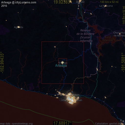
Analysis of Arteaga night lights 2016
Square area 10x10 km:
 0%
0%90-99
0%80-89
0.21%70-79
2.89%60-69
1.03%50-59
0%40-49
0.21%30-39
2.07%20-29
1.03%10-19
0%0-9
92.56%Square area 50x50 km:
0%90-99
0%80-89
0.01%70-79
0.15%60-69
0.04%50-59
0%40-49
0.01%30-39
0.08%20-29
0.07%10-19
0%0-9
99.64%Clear (daylight) street map image can be seen on geolist.org.
Map coordinates:
19° 1' 25.8" North, 102° 59' 39.7" West
18° 21' 28" North, 102° 17' 28.4" West
17° 41' 21" North, 101° 35' 17.2" West
Some cities around Arteaga sort by population:
• Ciudad Lázaro Cárdenas
43.7 km =27.2 mi,  170°
170°
• Guacamayas
38.5 km =23.9 mi, 167°
• La Orilla
40.8 km =25.4 mi, 170°
• La Mira Tumbiscatio
36.2 km =22.5 mi,  1°
1°
• La Mira
36.2 km =22.5 mi,  185°
185°
• Buenos Aires
37.1 km =23.1 mi,  179°
179°
• Antúnez (Morelos)
73.4 km =45.6 mi,  7°
7°
• Aguililla
67.4 km =41.9 mi,  308°
308°
4018128 (p: 10,537)
Sources (retrieved 2019-11-25):
» Earth at Night: Flat Maps 2012, 2016