Coalcomán de Vázquez Pallares night lights from space
Night Light of Coalcomán de Vázquez Pallares (Michoacán) from space (Mexico) Src. Average luminocity for 10x10km area is 5.5269% and for 50x50km: 0.2793%.
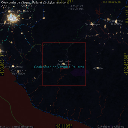
Analysis of Coalcomán de Vázquez Pallares night lights 2016
Square area 10x10 km:
 0%
0%90-99
0%80-89
1.65%70-79
1.65%60-69
0.21%50-59
1.45%40-49
0.83%30-39
2.48%20-29
0%10-19
0%0-9
91.74%Square area 50x50 km:
0%90-99
0%80-89
0.1%70-79
0.1%60-69
0.01%50-59
0.06%40-49
0.03%30-39
0.1%20-29
0.01%10-19
0.02%0-9
99.58%Clear (daylight) street map image can be seen on geolist.org.
Map coordinates:
19° 26' 30.7" North, 103° 51' 47.3" West
18° 46' 39" North, 103° 9' 36" West
18° 6' 37.8" North, 102° 27' 24.8" West
Some cities around Coalcomán de Vázquez Pallares sort by population:
• Tecomán
77.1 km =47.9 mi,  281°
281°
• Tepalcatepec
56 km =34.8 mi,  35°
35°
• Felipe Carrillo Puerto
64 km =39.8 mi,  47°
47°
• Aguililla
39.3 km =24.4 mi,  96°
96°
• Cuauhtémoc
76.9 km =47.8 mi,  322°
322°
• Cerro de Ortega
59.2 km =36.8 mi,  267°
267°
• Coahuayana de Hidalgo
53.5 km =33.2 mi,  260°
260°
• Pihuamo
57.5 km =35.7 mi,  335°
335°
4013669 (p: 10,784)
Sources (retrieved 2019-11-25):
» Earth at Night: Flat Maps 2012, 2016