Yanga night lights from space
Night Light of Yanga (Veracruz) from space (Mexico) Src. Average luminocity for 10x10km area is 21.1082% and for 50x50km: 9.7087%.
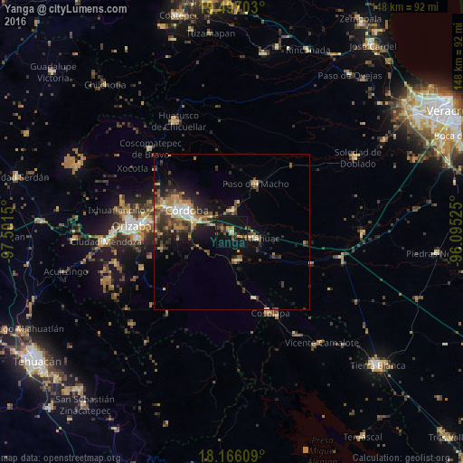
Analysis of Yanga night lights 2016
Square area 10x10 km:
 0%
0%90-99
0%80-89
4.55%70-79
2.6%60-69
2.81%50-59
3.68%40-49
4.33%30-39
1.73%20-29
5.19%10-19
48.05%0-9
27.06%Square area 50x50 km:
0.49%90-99
0.98%80-89
1.35%70-79
1.32%60-69
1.9%50-59
1.25%40-49
2.17%30-39
2.17%20-29
2.9%10-19
6.82%0-9
78.63%Clear (daylight) street map image can be seen on geolist.org.
Map coordinates:
19° 29' 49.3" North, 97° 30' 5.4" West
18° 49' 58.4" North, 96° 47' 54.1" West
18° 9' 57.9" North, 96° 5' 42.9" West
Some cities around Yanga sort by population:
• Córdoba
14.6 km =9.1 mi,  293°
293°
• General Miguel Alemán
6.8 km =4.2 mi,  5°
5°
• Cuitláhuac
8.2 km =5.1 mi,  104°
104°
• Paso del Macho
17.2 km =10.7 mi,  26°
26°
• Córdoba (Santa Leticia)
20.8 km =12.9 mi, 293°
• Amatlán de los Reyes
12.5 km =7.8 mi,  277°
277°
• El Pueblito
19 km =11.8 mi, 288°
• Peñuela
10.6 km =6.6 mi, 289°
3514329 (p: 5,598)
Sources (retrieved 2019-11-25):
» Earth at Night: Flat Maps 2012, 2016