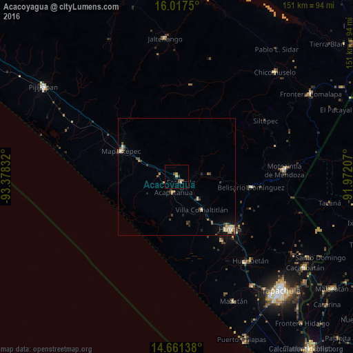
Acacoyagua night lights from space
Night Light of Acacoyagua (Chiapas) from space (Mexico) Src. Average luminocity for 10x10km area is 6.6753% and for 50x50km: 2.1076%.
Analysis of Acacoyagua night lights 2016
Square area 10x10 km:
 0.43%
0.43%90-99
0.43%80-89
1.73%70-79
0.87%60-69
0.87%50-59
1.08%40-49
1.73%30-39
0.65%20-29
0.87%10-19
0%0-9
91.34%Square area 50x50 km:
0.08%90-99
0.44%80-89
0.31%70-79
0.26%60-69
0.31%50-59
0.23%40-49
0.43%30-39
0.38%20-29
0.33%10-19
0.77%0-9
96.48%Clear (daylight) street map image can be seen on geolist.org.
Map coordinates:
16° 1' 3" North, 93° 22' 42" West
15° 20' 25.9" North, 92° 40' 30.7" West
14° 39' 41" North, 91° 58' 19.5" West
Some cities around Acacoyagua sort by population:
• Huixtla
31.8 km =19.8 mi,  134°
134°
• Motozintla
46.1 km =28.6 mi,  86°
86°
• Mapastepec
26.3 km =16.3 mi,  293°
293°
• Escuintla
3 km =1.9 mi,  142°
142°
• Huehuetán
47.5 km =29.5 mi, 138°
• Villa Comaltitlán
17.6 km =10.9 mi, 143°
• Estación Huehuetán
46.6 km =29 mi, 141°
• Acapetahua
6.7 km =4.2 mi,  193°
193°
3533491 (p: 7,515)
Sources (retrieved 2019-11-25):
» Earth at Night: Flat Maps 2012, 2016