Mapastepec night lights from space
Night Light of Mapastepec (Chiapas) from space (Mexico) Src. Average luminocity for 10x10km area is 9.4848% and for 50x50km: 0.9211%.
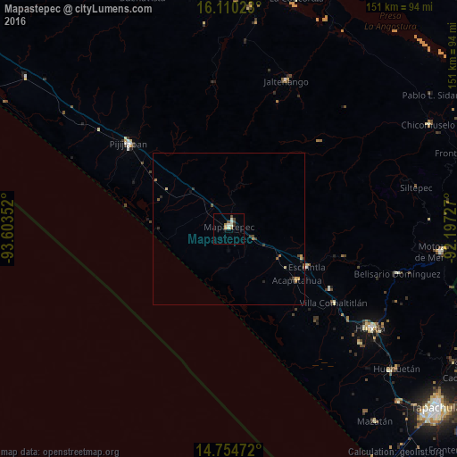
Analysis of Mapastepec night lights 2016
Square area 10x10 km:
 0%
0%90-99
4.33%80-89
0%70-79
0.87%60-69
1.73%50-59
0.87%40-49
2.38%30-39
0.22%20-29
0.87%10-19
0.87%0-9
87.88%Square area 50x50 km:
0%90-99
0.17%80-89
0.12%70-79
0.12%60-69
0.2%50-59
0.13%40-49
0.22%30-39
0.17%20-29
0.18%10-19
0.1%0-9
98.61%Clear (daylight) street map image can be seen on geolist.org.
Map coordinates:
16° 6' 36.8" North, 93° 36' 12.7" West
15° 26' 0.9" North, 92° 54' 1.4" West
14° 45' 17" North, 92° 11' 50.2" West
Some cities around Mapastepec sort by population:
• Huixtla
57.1 km =35.5 mi,  124°
124°
• Motozintla
70.5 km =43.8 mi,  96°
96°
• Pijijiapan
43.4 km =27 mi,  310°
310°
• Jaltenango de la Paz
52.4 km =32.6 mi,  21°
21°
• Escuintla
28.9 km =18 mi, 116°
• Acacoyagua
26.3 km =16.3 mi,  113°
113°
• Villa Comaltitlán
42.4 km =26.3 mi,  125°
125°
• Acapetahua
28.2 km =17.5 mi, 126°
3523590 (p: 17,931)
Sources (retrieved 2019-11-25):
» Earth at Night: Flat Maps 2012, 2016