Rumphi night lights from space
Night Light of Rumphi (Northern Region) from space (Malawi) Src. Average luminocity for 10x10km area is 3.4784% and for 50x50km: 0.1506%.
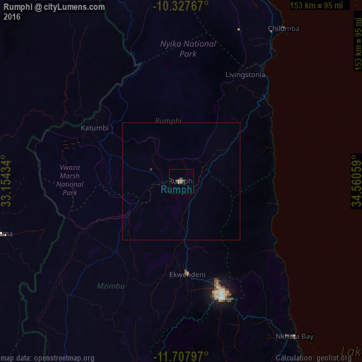
Analysis of Rumphi night lights 2016
Square area 10x10 km:
 0%
0%90-99
0%80-89
0%70-79
0%60-69
1.73%50-59
1.52%40-49
1.3%30-39
1.52%20-29
0%10-19
0.87%0-9
93.07%Square area 50x50 km:
0%90-99
0%80-89
0%70-79
0%60-69
0.07%50-59
0.06%40-49
0.08%30-39
0.07%20-29
0%10-19
0.03%0-9
99.69%Clear (daylight) street map image can be seen on geolist.org.
Map coordinates:
10° 19' 39.6" South, 33° 9' 15.6" East
11° 1' 7.1" South, 33° 51' 26.9" East
11° 42' 28.7" South, 34° 33' 38.1" East
Some cities around Rumphi sort by population:
• Mzuzu
52.8 km =32.8 mi,  160°
160°
• Mzimba
101.9 km =63.3 mi,  195°
195°
• Matiri, TZ
117.7 km =73.1 mi,  75°
75°
• Liuli, TZ
85 km =52.8 mi,  94°
94°
• Nkhata Bay
80.7 km =50.1 mi,  144°
144°
• Mbamba Bay, TZ
103.5 km =64.3 mi,  106°
106°
• Manda, TZ
100.3 km =62.3 mi,  52°
52°
• Livingstonia
53.3 km =33.1 mi,  30°
30°
924102 (p: 20,727)
Sources (retrieved 2019-11-25):
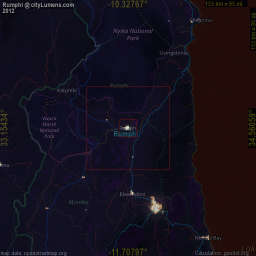
» Earth at Night: Flat Maps 2012, 2016