Funadhoo night lights from space
Night Light of Funadhoo (Shaviyani Atholhu) from space (Maldives) Src. Average luminocity for 10x10km area is 0% and for 50x50km: 0.0334%.
Analysis of Funadhoo night lights 2016
Square area 10x10 km:
 0%
0%90-99
0%80-89
0%70-79
0%60-69
0%50-59
0%40-49
0%30-39
0%20-29
0%10-19
0%0-9
100%Square area 50x50 km:
0%90-99
0%80-89
0%70-79
0%60-69
0%50-59
0%40-49
0.03%30-39
0.03%20-29
0%10-19
0.03%0-9
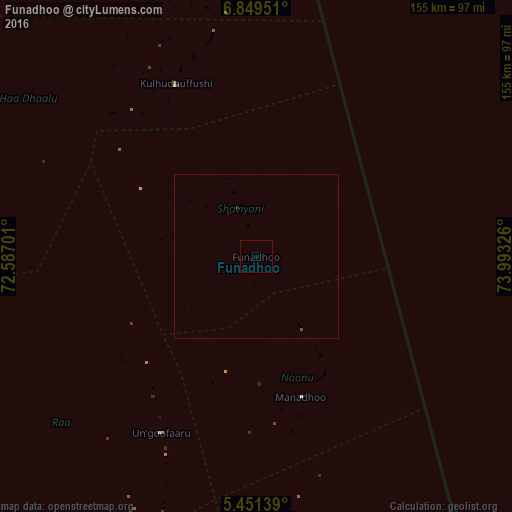
99.9%Clear (daylight) street map image can be seen on geolist.org.
Map coordinates:
6° 50' 58.2" North, 72° 35' 13.2" East
6° 9' 3.3" North, 73° 17' 24.5" East
5° 27' 5" North, 73° 59' 35.7" East
Some cities around Funadhoo sort by population:
• Male
221 km =137.3 mi,  173°
173°
• Kulhudhuffushi
57.8 km =35.9 mi,  335°
335°
• Naifaru
79 km =49.1 mi, 173°
• Dhidhdhoo
84.2 km =52.3 mi,  346°
346°
• Eydhafushi
119 km =73.9 mi,  191°
191°
• Mahibadhoo
268.5 km =166.8 mi, 187°
• Manadhoo
44.8 km =27.8 mi,  162°
162°
• Ugoofaaru
60.9 km =37.8 mi,  208°
208°
1337620 (p: 2,900)
Sources (retrieved 2019-11-25):
» Earth at Night: Flat Maps 2012, 2016