Kulhudhuffushi night lights from space
Night Light of Kulhudhuffushi (Haa Dhaalu Atholhu) from space (Maldives) Src. Average luminocity for 10x10km area is 1.8139% and for 50x50km: 0.1838%.
Analysis of Kulhudhuffushi night lights 2016
Square area 10x10 km:
 0%
0%90-99
0.43%80-89
0.43%70-79
0%60-69
0.43%50-59
0.43%40-49
0.87%30-39
0%20-29
0%10-19
0%0-9
97.4%Square area 50x50 km:
0%90-99
0.02%80-89
0.02%70-79
0%60-69
0.07%50-59
0.07%40-49
0.07%30-39
0.07%20-29
0%10-19
0%0-9
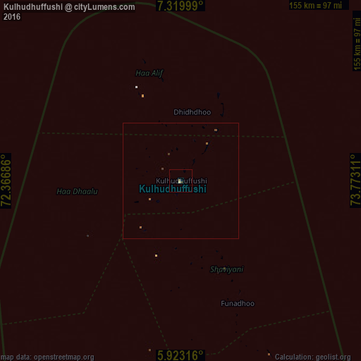
99.69%Clear (daylight) street map image can be seen on geolist.org.
Map coordinates:
7° 19' 12" North, 72° 22' 0.7" East
6° 37' 19.5" North, 73° 4' 11.9" East
5° 55' 23.4" North, 73° 46' 23.2" East
Some cities around Kulhudhuffushi sort by population:
• Male
276.4 km =171.7 mi,  169°
169°
• Naifaru
135 km =83.9 mi, 165°
• Dhidhdhoo
29.9 km =18.6 mi,  9°
9°
• Funadhoo
57.8 km =35.9 mi,  155°
155°
• Eydhafushi
168.9 km =104.9 mi,  179°
179°
• Mahibadhoo
318.7 km =198 mi, 182°
• Manadhoo
102.4 km =63.6 mi, 158°
• Ugoofaaru
106.2 km =66 mi, 182°
1337613 (p: 9,500)
Sources (retrieved 2019-11-25):
» Earth at Night: Flat Maps 2012, 2016