Manadhoo night lights from space
Night Light of Manadhoo (Noonu Atoll) from space (Maldives) Src. Average luminocity for 10x10km area is 0.8802% and for 50x50km: 0.1272%.
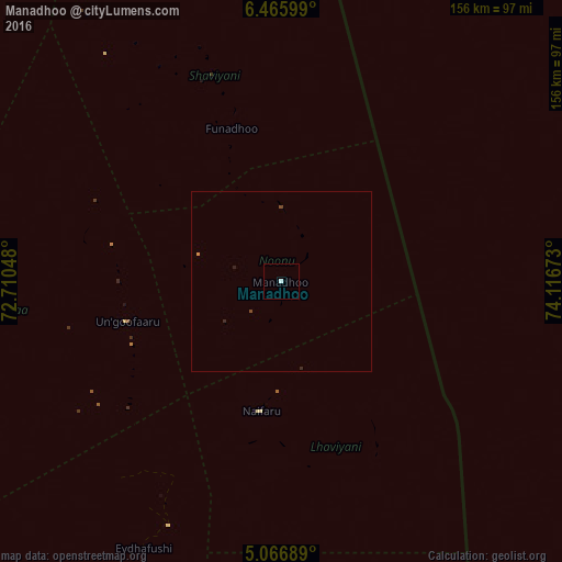
Analysis of Manadhoo night lights 2016
Square area 10x10 km:
 0.41%
0.41%90-99
0.41%80-89
0%70-79
0%60-69
0%50-59
0%40-49
0%30-39
0%20-29
0%10-19
0%0-9
99.17%Square area 50x50 km:
0.02%90-99
0.02%80-89
0%70-79
0.03%60-69
0%50-59
0%40-49
0.07%30-39
0%20-29
0.1%10-19
0%0-9
99.76%Clear (daylight) street map image can be seen on geolist.org.
Map coordinates:
6° 27' 57.6" North, 72° 42' 37.7" East
5° 46' 0.7" North, 73° 24' 49" East
5° 4' 0.8" North, 74° 7' 0.2" East
Some cities around Manadhoo sort by population:
• Male
177.3 km =110.2 mi,  176°
176°
• Kulhudhuffushi
102.4 km =63.6 mi,  338°
338°
• Naifaru
36.2 km =22.5 mi,  188°
188°
• Dhidhdhoo
128.9 km =80.1 mi,  345°
345°
• Funadhoo
44.8 km =27.8 mi, 342°
• Eydhafushi
83 km =51.6 mi,  207°
207°
• Mahibadhoo
228.8 km =142.2 mi, 192°
• Ugoofaaru
43.8 km =27.2 mi,  255°
255°
1337618 (p: 1,580)
Sources (retrieved 2019-11-25):
» Earth at Night: Flat Maps 2012, 2016