Dhidhdhoo night lights from space
Night Light of Dhidhdhoo (Haa Alifu Atholhu) from space (Maldives) Src. Average luminocity for 10x10km area is 0% and for 50x50km: 0.1308%.
Analysis of Dhidhdhoo night lights 2016
Square area 10x10 km:
 0%
0%90-99
0%80-89
0%70-79
0%60-69
0%50-59
0%40-49
0%30-39
0%20-29
0%10-19
0%0-9
100%Square area 50x50 km:
0.03%90-99
0.01%80-89
0%70-79
0.03%60-69
0%50-59
0.03%40-49
0.03%30-39
0.07%20-29
0%10-19
0%0-9
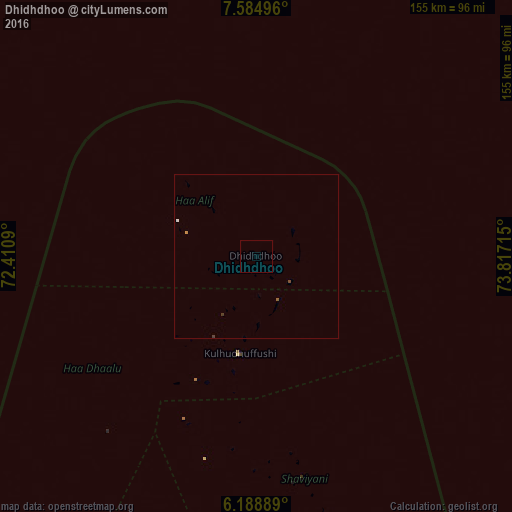
99.79%Clear (daylight) street map image can be seen on geolist.org.
Map coordinates:
7° 35' 5.9" North, 72° 24' 39.2" East
6° 53' 14.8" North, 73° 6' 50.5" East
6° 11' 20" North, 73° 49' 1.7" East
Some cities around Dhidhdhoo sort by population:
• Male
304.7 km =189.3 mi,  171°
171°
• Kulhudhuffushi
29.9 km =18.6 mi,  189°
189°
• Naifaru
162.8 km =101.2 mi, 170°
• Funadhoo
84.2 km =52.3 mi, 166°
• Eydhafushi
198.4 km =123.3 mi,  181°
181°
• Mahibadhoo
348.4 km =216.5 mi, 182°
• Manadhoo
128.9 km =80.1 mi, 165°
• Ugoofaaru
135.9 km =84.4 mi, 183°
1337612 (p: 3,039)
Sources (retrieved 2019-11-25):
» Earth at Night: Flat Maps 2012, 2016