Tarxien night lights from space
Night Light of Tarxien from space (Malta) Src. Average luminocity for 10x10km area is 82.1556% and for 50x50km: 9.8012%.
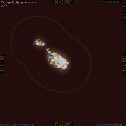
Analysis of Tarxien night lights 2016
Square area 10x10 km:
100  28.67%
90-99 27.97%
80-89 10.49%
70-79 10.14%
60-69 6.47%
50-59 2.27%
40-49 2.62%
30-39 3.5%
20-29 6.29%
10-19 1.57%
0-9 0%
28.67%90-99
27.97%80-89
10.49%70-79
10.14%60-69
6.47%50-59
2.27%40-49
2.62%30-39
3.5%20-29
6.29%10-19
1.57%0-9
0%Square area 50x50 km:
100 1.77%
90-99 1.97%
80-89 1.03%
70-79 1.35%
60-69 1.78%
50-59 0.55%
40-49 1.03%
30-39 1.29%
20-29 2.52%
10-19 5.51%
0-9 81.2%
1.77%90-99
1.97%80-89
1.03%70-79
1.35%60-69
1.78%50-59
0.55%40-49
1.03%30-39
1.29%20-29
2.52%10-19
5.51%0-9
81.2%Clear (daylight) street map image can be seen on geolist.org.
Map coordinates:
36° 26' 0.9" North, 13° 48' 42.8" East
35° 51' 57" North, 14° 30' 54" East
35° 17' 38.3" North, 15° 13' 5.3" East
Some cities around Tarxien sort by population:
• Żabbar
2.1 km =1.3 mi,  57°
57°
• Fgura
0.5 km =0.3 mi,  343°
343°
• Żejtun
2 km =1.2 mi,  124°
124°
• Paola
1.7 km =1.1 mi,  298°
298°
• Marsa
2.3 km =1.4 mi,  309°
309°
• Għaxaq
1.9 km =1.2 mi,  175°
175°
• Gudja
2.1 km =1.3 mi,  210°
210°
• Senglea
2.4 km =1.5 mi,  4°
4°
2562349 (p: 7,761)
Sources (retrieved 2019-11-25):
» Earth at Night: Flat Maps 2012, 2016