Marsa night lights from space
Night Light of Marsa (Il-Marsa) from space (Malta) Src. Average luminocity for 10x10km area is 85.8681% and for 50x50km: 10.2252%.
Analysis of Marsa night lights 2016
Square area 10x10 km:
100  31.5%
31.5%
90-99 32.78%
80-89 7.51%
70-79 8.79%
60-69 8.42%
50-59 1.28%
40-49 2.75%
30-39 2.56%
20-29 4.03%
10-19 0.37%
0-9 0%
31.5%90-99
32.78%80-89
7.51%70-79
8.79%60-69
8.42%50-59
1.28%40-49
2.75%30-39
2.56%20-29
4.03%10-19
0.37%0-9
0%Square area 50x50 km:
100 1.79%
90-99 2%
80-89 1.12%
70-79 1.4%
60-69 1.91%
50-59 0.61%
40-49 1.11%
30-39 1.35%
20-29 2.55%
10-19 5.81%
0-9 80.35%
1.79%90-99
2%80-89
1.12%70-79
1.4%60-69
1.91%50-59
0.61%40-49
1.11%30-39
1.35%20-29
2.55%10-19
5.81%0-9
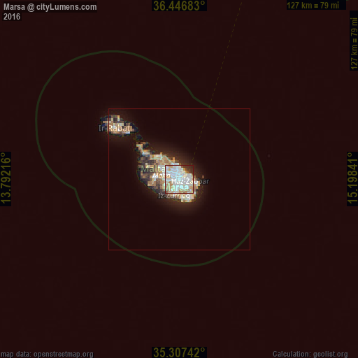
80.35%Clear (daylight) street map image can be seen on geolist.org.
Map coordinates:
36° 26' 48.6" North, 13° 47' 31.8" East
35° 52' 45" North, 14° 29' 43" East
35° 18' 26.7" North, 15° 11' 54.3" East
Some cities around Marsa sort by population:
• Qormi
2.1 km =1.3 mi,  260°
260°
• Fgura
1.9 km =1.2 mi,  121°
121°
• Ħamrun
1.2 km =0.7 mi,  302°
302°
• Paola
0.8 km =0.5 mi,  154°
154°
• Imsida
1.9 km =1.2 mi,  322°
322°
• Pietà
1.7 km =1.1 mi,  359°
359°
• Senglea
2.2 km =1.4 mi,  64°
64°
• Floriana
2.2 km =1.4 mi,  32°
32°
2562755 (p: 5,116)
Sources (retrieved 2019-11-25):
» Earth at Night: Flat Maps 2012, 2016