Paola night lights from space
Night Light of Paola from space (Malta) Src. Average luminocity for 10x10km area is 85.7674% and for 50x50km: 10.1648%.
Analysis of Paola night lights 2016
Square area 10x10 km:
100  30.59%
90-99 30.77%
80-89 9.89%
70-79 9.71%
60-69 8.61%
50-59 2.01%
40-49 2.01%
30-39 2.56%
20-29 3.66%
10-19 0.18%
0-9 0%
30.59%90-99
30.77%80-89
9.89%70-79
9.71%60-69
8.61%50-59
2.01%40-49
2.01%30-39
2.56%20-29
3.66%10-19
0.18%0-9
0%Square area 50x50 km:
100 1.79%
90-99 2%
80-89 1.11%
70-79 1.4%
60-69 1.91%
50-59 0.57%
40-49 1.09%
30-39 1.33%
20-29 2.55%
10-19 5.77%
0-9 80.48%
1.79%90-99
2%80-89
1.11%70-79
1.4%60-69
1.91%50-59
0.57%40-49
1.09%30-39
1.33%20-29
2.55%10-19
5.77%0-9
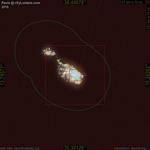
80.48%Clear (daylight) street map image can be seen on geolist.org.
Map coordinates:
36° 26' 26.7" North, 13° 47' 44.8" East
35° 52' 23" North, 14° 29' 56" East
35° 18' 4.5" North, 15° 12' 7.3" East
Some cities around Paola sort by population:
• Qormi
2.4 km =1.5 mi,  277°
277°
• Fgura
1.3 km =0.8 mi,  103°
103°
• Ħamrun
1.8 km =1.1 mi,  314°
314°
• Tarxien
1.7 km =1.1 mi,  118°
118°
• Marsa
0.8 km =0.5 mi,  334°
334°
• Luqa
1.8 km =1.1 mi,  210°
210°
• Pietà
2.4 km =1.5 mi,  351°
351°
• Senglea
2.3 km =1.4 mi,  45°
45°
2562617 (p: 9,257)
Sources (retrieved 2019-11-25):
» Earth at Night: Flat Maps 2012, 2016