Żabbar night lights from space
Night Light of Żabbar (Ħaż-Żabbar) from space (Malta) Src. Average luminocity for 10x10km area is 64.9835% and for 50x50km: 9.5708%.
Analysis of Żabbar night lights 2016
Square area 10x10 km:
100  21.43%
90-99 21.98%
80-89 6.23%
70-79 5.13%
60-69 6.23%
50-59 2.01%
40-49 2.75%
30-39 4.03%
20-29 11.36%
10-19 14.65%
0-9 4.21%
21.43%90-99
21.98%80-89
6.23%70-79
5.13%60-69
6.23%50-59
2.01%40-49
2.75%30-39
4.03%20-29
11.36%10-19
14.65%0-9
4.21%Square area 50x50 km:
100 1.76%
90-99 1.97%
80-89 0.96%
70-79 1.27%
60-69 1.72%
50-59 0.54%
40-49 1%
30-39 1.23%
20-29 2.5%
10-19 5.31%
0-9 81.73%
1.76%90-99
1.97%80-89
0.96%70-79
1.27%60-69
1.72%50-59
0.54%40-49
1%30-39
1.23%20-29
2.5%10-19
5.31%0-9
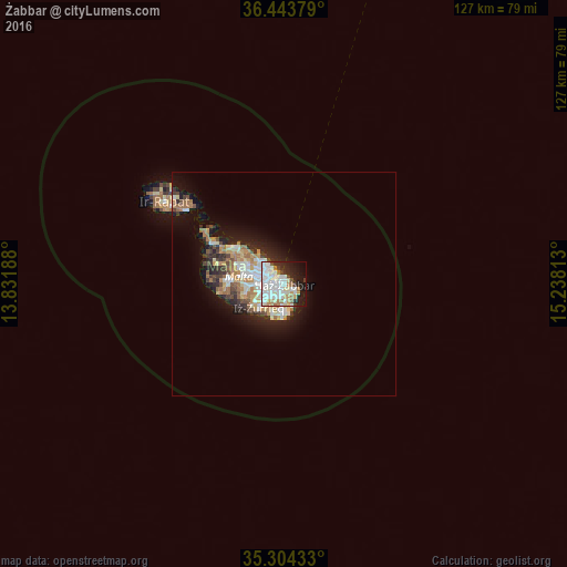
81.73%Clear (daylight) street map image can be seen on geolist.org.
Map coordinates:
36° 26' 37.6" North, 13° 49' 54.8" East
35° 52' 34" North, 14° 32' 6" East
35° 18' 15.6" North, 15° 14' 17.3" East
Some cities around Żabbar sort by population:
• Fgura
2.1 km =1.3 mi,  251°
251°
• Żejtun
2.3 km =1.4 mi,  184°
184°
• Tarxien
2.1 km =1.3 mi,  237°
237°
• Cospicua
1.2 km =0.7 mi,  327°
327°
• Kalkara
1.5 km =0.9 mi,  352°
352°
• Senglea
2.1 km =1.3 mi,  307°
307°
• Vittoriosa
2.3 km =1.4 mi,  320°
320°
• Xgħajra
1.5 km =0.9 mi,  46°
46°
2562266 (p: 15,030)
Sources (retrieved 2019-11-25):
» Earth at Night: Flat Maps 2012, 2016