Fgura night lights from space
Night Light of Fgura (Il-Fgura) from space (Malta) Src. Average luminocity for 10x10km area is 83.6007% and for 50x50km: 9.9744%.
Analysis of Fgura night lights 2016
Square area 10x10 km:
100  30.04%
90-99 28.75%
80-89 9.89%
70-79 10.07%
60-69 7.14%
50-59 2.56%
40-49 2.01%
30-39 2.75%
20-29 5.49%
10-19 1.28%
0-9 0%
30.04%90-99
28.75%80-89
9.89%70-79
10.07%60-69
7.14%50-59
2.56%40-49
2.01%30-39
2.75%20-29
5.49%10-19
1.28%0-9
0%Square area 50x50 km:
100 1.79%
90-99 1.99%
80-89 1.06%
70-79 1.38%
60-69 1.82%
50-59 0.56%
40-49 1.07%
30-39 1.3%
20-29 2.55%
10-19 5.63%
0-9 80.86%
1.79%90-99
1.99%80-89
1.06%70-79
1.38%60-69
1.82%50-59
0.56%40-49
1.07%30-39
1.3%20-29
2.55%10-19
5.63%0-9
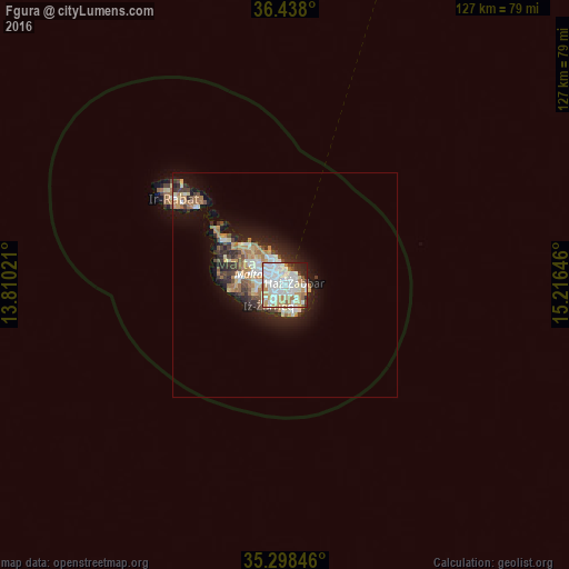
80.86%Clear (daylight) street map image can be seen on geolist.org.
Map coordinates:
36° 26' 16.8" North, 13° 48' 36.8" East
35° 52' 13" North, 14° 30' 48" East
35° 17' 54.5" North, 15° 12' 59.3" East
Some cities around Fgura sort by population:
• Żabbar
2.1 km =1.3 mi,  71°
71°
• Żejtun
2.4 km =1.5 mi,  132°
132°
• Paola
1.3 km =0.8 mi,  283°
283°
• Tarxien
0.5 km =0.3 mi,  163°
163°
• Cospicua
2.1 km =1.3 mi,  36°
36°
• Marsa
1.9 km =1.2 mi,  301°
301°
• Għaxaq
2.4 km =1.5 mi,  172°
172°
• Senglea
1.9 km =1.2 mi,  9°
9°
2563115 (p: 11,676)
Sources (retrieved 2019-11-25):
» Earth at Night: Flat Maps 2012, 2016