Żejtun night lights from space
Night Light of Żejtun (Iż-Żejtun) from space (Malta) Src. Average luminocity for 10x10km area is 71.771% and for 50x50km: 9.5317%.
Analysis of Żejtun night lights 2016
Square area 10x10 km:
100  22.38%
90-99 23.43%
80-89 9.97%
70-79 8.22%
60-69 6.82%
50-59 2.27%
40-49 2.27%
30-39 4.2%
20-29 8.57%
10-19 11.54%
0-9 0.35%
22.38%90-99
23.43%80-89
9.97%70-79
8.22%60-69
6.82%50-59
2.27%40-49
2.27%30-39
4.2%20-29
8.57%10-19
11.54%0-9
0.35%Square area 50x50 km:
100 1.76%
90-99 1.95%
80-89 0.98%
70-79 1.27%
60-69 1.71%
50-59 0.55%
40-49 1%
30-39 1.22%
20-29 2.48%
10-19 5.24%
0-9 81.82%
1.76%90-99
1.95%80-89
0.98%70-79
1.27%60-69
1.71%50-59
0.55%40-49
1%30-39
1.22%20-29
2.48%10-19
5.24%0-9
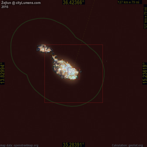
81.82%Clear (daylight) street map image can be seen on geolist.org.
Map coordinates:
36° 25' 25.2" North, 13° 49' 47.8" East
35° 51' 21" North, 14° 31' 59" East
35° 17' 2.1" North, 15° 14' 10.3" East
Some cities around Żejtun sort by population:
• Żabbar
2.3 km =1.4 mi,  4°
4°
• Fgura
2.4 km =1.5 mi,  312°
312°
• Marsaskala
3.1 km =1.9 mi,  76°
76°
• Tarxien
2 km =1.2 mi,  304°
304°
• Cospicua
3.3 km =2.1 mi,  351°
351°
• Għaxaq
1.7 km =1.1 mi,  242°
242°
• Marsaxlokk
1.8 km =1.1 mi,  149°
149°
• Gudja
2.8 km =1.7 mi,  254°
254°
2562258 (p: 11,549)
Sources (retrieved 2019-11-25):
» Earth at Night: Flat Maps 2012, 2016