Ta’ Xbiex night lights from space
Night Light of Ta’ Xbiex from space (Malta) Src. Average luminocity for 10x10km area is 77.1172% and for 50x50km: 10.2411%.
Analysis of Ta’ Xbiex night lights 2016
Square area 10x10 km:
100  29.12%
90-99 28.57%
80-89 4.76%
70-79 5.68%
60-69 8.06%
50-59 0.37%
40-49 3.66%
30-39 4.03%
20-29 10.07%
10-19 5.31%
0-9 0.37%
29.12%90-99
28.57%80-89
4.76%70-79
5.68%60-69
8.06%50-59
0.37%40-49
3.66%30-39
4.03%20-29
10.07%10-19
5.31%0-9
0.37%Square area 50x50 km:
100 1.79%
90-99 2%
80-89 1.12%
70-79 1.4%
60-69 1.91%
50-59 0.61%
40-49 1.11%
30-39 1.35%
20-29 2.55%
10-19 5.81%
0-9 80.35%
1.79%90-99
2%80-89
1.12%70-79
1.4%60-69
1.91%50-59
0.61%40-49
1.11%30-39
1.35%20-29
2.55%10-19
5.81%0-9
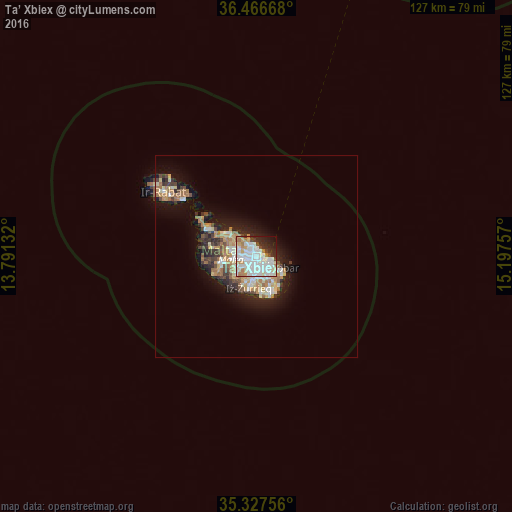
80.35%Clear (daylight) street map image can be seen on geolist.org.
Map coordinates:
36° 28' 0" North, 13° 47' 28.8" East
35° 53' 57" North, 14° 29' 40" East
35° 19' 39.2" North, 15° 11' 51.3" East
Some cities around Ta’ Xbiex sort by population:
• Saint John
1.8 km =1.1 mi,  293°
293°
• Sliema
1.6 km =1 mi,  24°
24°
• Ħamrun
1.8 km =1.1 mi,  209°
209°
• Gżira
0.9 km =0.6 mi,  322°
322°
• Imsida
1.3 km =0.8 mi,  234°
234°
• Valletta
1.8 km =1.1 mi,  88°
88°
• Pietà
0.5 km =0.3 mi,  174°
174°
• Floriana
1.3 km =0.8 mi,  106°
106°
2562320 (p: 1,642)
Sources (retrieved 2019-11-25):
» Earth at Night: Flat Maps 2012, 2016