Sliema night lights from space
Night Light of Sliema (Tas-Sliema) from space (Malta) Src. Average luminocity for 10x10km area is 63.1886% and for 50x50km: 10.1331%.
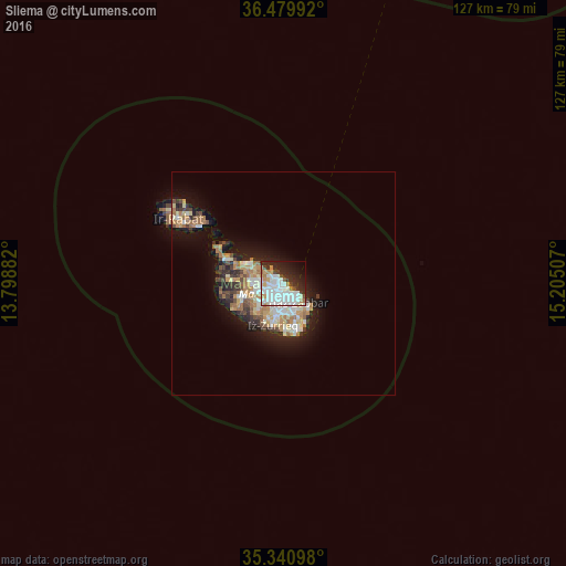
Analysis of Sliema night lights 2016
Square area 10x10 km:
 23.81%
90-99
20.7%80-89
2.56%70-79
5.13%60-69
4.95%50-59
0.55%40-49
4.4%30-39
4.58%20-29
16.48%10-19
12.09%0-9
4.76%Square area 50x50 km:
1.79%90-99
2%80-89
1.09%70-79
1.4%60-69
1.88%50-59
0.56%40-49
1.09%30-39
1.32%20-29
2.55%10-19
5.73%0-9
80.59%Clear (daylight) street map image can be seen on geolist.org.
Map coordinates:
36° 28' 47.7" North, 13° 47' 55.8" East
35° 54' 45" North, 14° 30' 7" East
35° 20' 27.5" North, 15° 12' 18.3" East
Some cities around Sliema sort by population:
• Saint John
2.5 km =1.6 mi,  251°
251°
• Gżira
1.5 km =0.9 mi,  239°
239°
• San Ġiljan
1.3 km =0.8 mi,  300°
300°
• Valletta
1.8 km =1.1 mi,  140°
140°
• Swieqi
2.3 km =1.4 mi, 299°
• Pietà
2.1 km =1.3 mi,  197°
197°
• Floriana
1.9 km =1.2 mi,  162°
162°
• Ta’ Xbiex
1.6 km =1 mi, 204°
2562501 (p: 11,318)
Sources (retrieved 2019-11-25):
» Earth at Night: Flat Maps 2012, 2016