Pietà night lights from space
Night Light of Pietà (Tal-Pietà) from space (Malta) Src. Average luminocity for 10x10km area is 79.8059% and for 50x50km: 10.2397%.
Analysis of Pietà night lights 2016
Square area 10x10 km:
100  30.04%
90-99 30.22%
80-89 5.31%
70-79 6.41%
60-69 8.06%
50-59 0.37%
40-49 3.3%
30-39 3.66%
20-29 8.61%
10-19 4.03%
0-9 0%
30.04%90-99
30.22%80-89
5.31%70-79
6.41%60-69
8.06%50-59
0.37%40-49
3.3%30-39
3.66%20-29
8.61%10-19
4.03%0-9
0%Square area 50x50 km:
100 1.79%
90-99 2%
80-89 1.12%
70-79 1.4%
60-69 1.91%
50-59 0.61%
40-49 1.11%
30-39 1.35%
20-29 2.55%
10-19 5.81%
0-9 80.35%
1.79%90-99
2%80-89
1.12%70-79
1.4%60-69
1.91%50-59
0.61%40-49
1.11%30-39
1.35%20-29
2.55%10-19
5.81%0-9
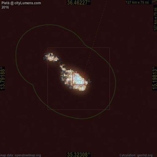
80.35%Clear (daylight) street map image can be seen on geolist.org.
Map coordinates:
36° 27' 44.2" North, 13° 47' 30.8" East
35° 53' 41" North, 14° 29' 42" East
35° 19' 23.1" North, 15° 11' 53.3" East
Some cities around Pietà sort by population:
• Ħamrun
1.5 km =0.9 mi,  220°
220°
• Gżira
1.4 km =0.9 mi,  333°
333°
• Imsida
1.1 km =0.7 mi,  257°
257°
• Valletta
1.9 km =1.2 mi,  72°
72°
• Santa Venera
1.9 km =1.2 mi, 257°
• Marsa
1.7 km =1.1 mi,  179°
179°
• Floriana
1.2 km =0.7 mi,  84°
84°
• Ta’ Xbiex
0.5 km =0.3 mi,  354°
354°
2562664 (p: 3,846)
Sources (retrieved 2019-11-25):
» Earth at Night: Flat Maps 2012, 2016