Imsida night lights from space
Night Light of Imsida (L-Imsida) from space (Malta) Src. Average luminocity for 10x10km area is 85.5275% and for 50x50km: 10.345%.
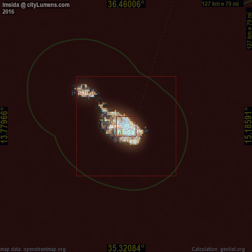
Analysis of Imsida night lights 2016
Square area 10x10 km:
100  32.78%
90-99 32.6%
80-89 7.33%
70-79 6.59%
60-69 9.16%
50-59 0.37%
40-49 2.93%
30-39 2.38%
20-29 5.13%
10-19 0.73%
0-9 0%
32.78%90-99
32.6%80-89
7.33%70-79
6.59%60-69
9.16%50-59
0.37%40-49
2.93%30-39
2.38%20-29
5.13%10-19
0.73%0-9
0%Square area 50x50 km:
100 1.79%
90-99 2%
80-89 1.14%
70-79 1.4%
60-69 1.94%
50-59 0.65%
40-49 1.13%
30-39 1.39%
20-29 2.55%
10-19 5.94%
0-9 80.08%
1.79%90-99
2%80-89
1.14%70-79
1.4%60-69
1.94%50-59
0.65%40-49
1.13%30-39
1.39%20-29
2.55%10-19
5.94%0-9
80.08%Clear (daylight) street map image can be seen on geolist.org.
Map coordinates:
36° 27' 36.2" North, 13° 46' 46.8" East
35° 53' 33" North, 14° 28' 58" East
35° 19' 15" North, 15° 11' 9.3" East
Some cities around Imsida sort by population:
• Birkirkara
2 km =1.2 mi,  285°
285°
• Saint John
1.6 km =1 mi,  337°
337°
• Ħamrun
0.9 km =0.6 mi,  170°
170°
• Gżira
1.6 km =1 mi,  17°
17°
• Santa Venera
0.8 km =0.5 mi,  256°
256°
• Marsa
1.9 km =1.2 mi,  142°
142°
• Pietà
1.1 km =0.7 mi,  77°
77°
• Ta’ Xbiex
1.3 km =0.8 mi,  54°
54°
2562698 (p: 6,920)
Sources (retrieved 2019-11-25):
» Earth at Night: Flat Maps 2012, 2016