Gżira night lights from space
Night Light of Gżira (Il-Gżira) from space (Malta) Src. Average luminocity for 10x10km area is 74.2784% and for 50x50km: 10.3242%.
Analysis of Gżira night lights 2016
Square area 10x10 km:
100  27.84%
90-99 26.19%
80-89 4.21%
70-79 6.04%
60-69 8.42%
50-59 0.55%
40-49 4.03%
30-39 3.85%
20-29 11.72%
10-19 6.59%
0-9 0.55%
27.84%90-99
26.19%80-89
4.21%70-79
6.04%60-69
8.42%50-59
0.55%40-49
4.03%30-39
3.85%20-29
11.72%10-19
6.59%0-9
0.55%Square area 50x50 km:
100 1.79%
90-99 2%
80-89 1.14%
70-79 1.4%
60-69 1.92%
50-59 0.65%
40-49 1.13%
30-39 1.37%
20-29 2.55%
10-19 5.89%
0-9 80.16%
1.79%90-99
2%80-89
1.14%70-79
1.4%60-69
1.92%50-59
0.65%40-49
1.13%30-39
1.37%20-29
2.55%10-19
5.89%0-9
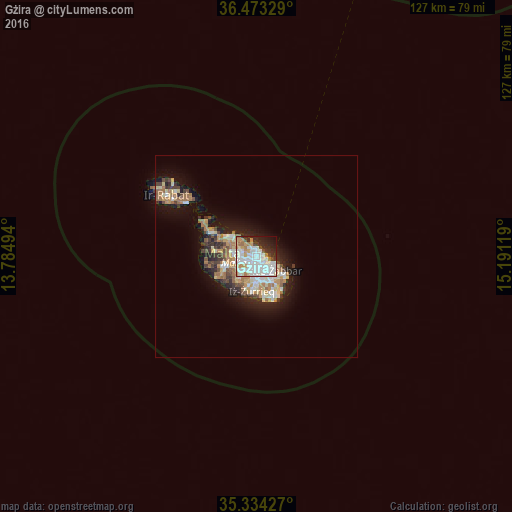
80.16%Clear (daylight) street map image can be seen on geolist.org.
Map coordinates:
36° 28' 23.8" North, 13° 47' 5.8" East
35° 54' 21" North, 14° 29' 17" East
35° 20' 3.4" North, 15° 11' 28.3" East
Some cities around Gżira sort by population:
• Saint John
1.1 km =0.7 mi,  268°
268°
• Sliema
1.5 km =0.9 mi,  59°
59°
• Imsida
1.6 km =1 mi,  197°
197°
• San Ġiljan
1.4 km =0.9 mi,  6°
6°
• Swieqi
2 km =1.2 mi,  338°
338°
• Pietà
1.4 km =0.9 mi,  153°
153°
• Floriana
2.1 km =1.3 mi,  121°
121°
• Ta’ Xbiex
0.9 km =0.6 mi,  142°
142°
2562946 (p: 7,513)
Sources (retrieved 2019-11-25):
» Earth at Night: Flat Maps 2012, 2016