Floriana night lights from space
Night Light of Floriana (Il-Furjana) from space (Malta) Src. Average luminocity for 10x10km area is 74.6538% and for 50x50km: 10.074%.
Analysis of Floriana night lights 2016
Square area 10x10 km:
 27.29%
90-99
27.29%80-89
5.49%70-79
6.23%60-69
5.86%50-59
0.92%40-49
4.03%30-39
4.03%20-29
10.81%10-19
6.96%0-9
1.1%Square area 50x50 km:
1.79%90-99
2%80-89
1.08%70-79
1.39%60-69
1.85%50-59
0.56%40-49
1.09%30-39
1.3%20-29
2.55%10-19
5.68%0-9
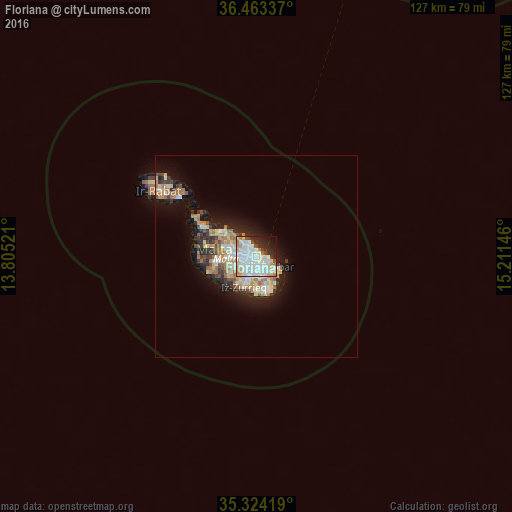
80.71%Clear (daylight) street map image can be seen on geolist.org.
Map coordinates:
36° 27' 48.1" North, 13° 48' 18.8" East
35° 53' 45" North, 14° 30' 30" East
35° 19' 27.1" North, 15° 12' 41.3" East
Some cities around Floriana sort by population:
• Sliema
1.9 km =1.2 mi,  342°
342°
• Gżira
2.1 km =1.3 mi,  301°
301°
• Valletta
0.7 km =0.4 mi,  53°
53°
• Cospicua
2.1 km =1.3 mi,  123°
123°
• Pietà
1.2 km =0.7 mi,  264°
264°
• Senglea
1.2 km =0.7 mi,  140°
140°
• Vittoriosa
1 km =0.6 mi,  114°
114°
• Ta’ Xbiex
1.3 km =0.8 mi,  286°
286°
2562955 (p: 2,516)
Sources (retrieved 2019-11-25):
» Earth at Night: Flat Maps 2012, 2016