Saint John night lights from space
Night Light of Saint John from space (Malta) Src. Average luminocity for 10x10km area is 76.8168% and for 50x50km: 10.3693%.
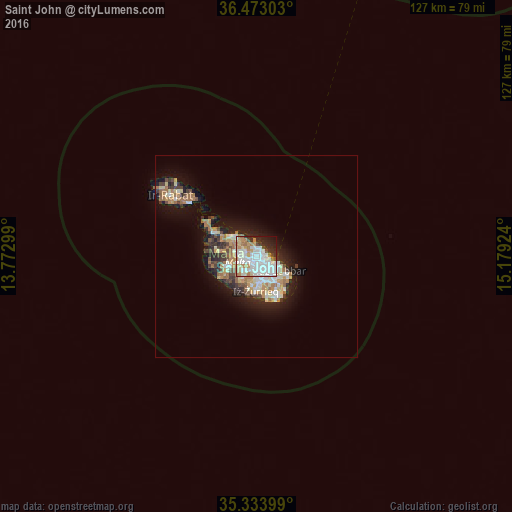
Analysis of Saint John night lights 2016
Square area 10x10 km:
100  27.66%
90-99 26.74%
80-89 5.86%
70-79 6.78%
60-69 10.44%
50-59 0.55%
40-49 3.66%
30-39 3.3%
20-29 10.26%
10-19 4.76%
0-9 0%
27.66%90-99
26.74%80-89
5.86%70-79
6.78%60-69
10.44%50-59
0.55%40-49
3.66%30-39
3.3%20-29
10.26%10-19
4.76%0-9
0%Square area 50x50 km:
100 1.79%
90-99 2%
80-89 1.14%
70-79 1.4%
60-69 1.94%
50-59 0.66%
40-49 1.13%
30-39 1.39%
20-29 2.55%
10-19 5.96%
0-9 80.05%
1.79%90-99
2%80-89
1.14%70-79
1.4%60-69
1.94%50-59
0.66%40-49
1.13%30-39
1.39%20-29
2.55%10-19
5.96%0-9
80.05%Clear (daylight) street map image can be seen on geolist.org.
Map coordinates:
36° 28' 22.9" North, 13° 46' 22.8" East
35° 54' 20" North, 14° 28' 34" East
35° 20' 2.4" North, 15° 10' 45.3" East
Some cities around Saint John sort by population:
• Birkirkara
1.6 km =1 mi,  235°
235°
• Gżira
1.1 km =0.7 mi,  88°
88°
• Imsida
1.6 km =1 mi,  157°
157°
• San Ġiljan
1.9 km =1.2 mi,  40°
40°
• Santa Venera
1.6 km =1 mi,  186°
186°
• Swieqi
1.9 km =1.2 mi,  10°
10°
• Balzan
2 km =1.2 mi,  252°
252°
• Ta’ Xbiex
1.8 km =1.1 mi,  113°
113°
2567539 (p: 12,346)
Sources (retrieved 2019-11-25):
» Earth at Night: Flat Maps 2012, 2016