Marsaxlokk night lights from space
Night Light of Marsaxlokk from space (Malta) Src. Average luminocity for 10x10km area is 56.4283% and for 50x50km: 9.283%.
Analysis of Marsaxlokk night lights 2016
Square area 10x10 km:
100  12.94%
90-99 16.61%
80-89 9.44%
70-79 8.04%
60-69 6.82%
50-59 2.27%
40-49 0.87%
30-39 3.32%
20-29 11.71%
10-19 19.76%
0-9 8.22%
12.94%90-99
16.61%80-89
9.44%70-79
8.04%60-69
6.82%50-59
2.27%40-49
0.87%30-39
3.32%20-29
11.71%10-19
19.76%0-9
8.22%Square area 50x50 km:
100 1.73%
90-99 1.93%
80-89 0.91%
70-79 1.24%
60-69 1.67%
50-59 0.53%
40-49 1%
30-39 1.17%
20-29 2.46%
10-19 4.98%
0-9 82.38%
1.73%90-99
1.93%80-89
0.91%70-79
1.24%60-69
1.67%50-59
0.53%40-49
1%30-39
1.17%20-29
2.46%10-19
4.98%0-9
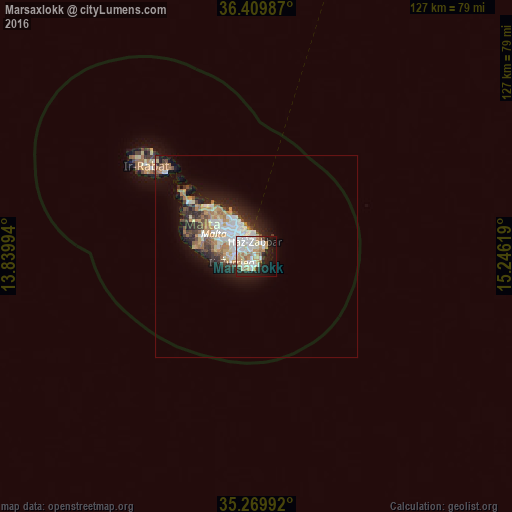
82.38%Clear (daylight) street map image can be seen on geolist.org.
Map coordinates:
36° 24' 35.5" North, 13° 50' 23.8" East
35° 50' 31" North, 14° 32' 35" East
35° 16' 11.7" North, 15° 14' 46.3" East
Some cities around Marsaxlokk sort by population:
• Żabbar
3.9 km =2.4 mi,  349°
349°
• Fgura
4.1 km =2.5 mi,  319°
319°
• Żejtun
1.8 km =1.1 mi,  329°
329°
• Birżebbuġa
2.3 km =1.4 mi,  219°
219°
• Tarxien
3.7 km =2.3 mi, 316°
• Għaxaq
2.5 km =1.6 mi,  287°
287°
• Gudja
3.7 km =2.3 mi,  282°
282°
• Xgħajra
4.9 km =3 mi,  4°
4°
2562247 (p: 3,026)
Sources (retrieved 2019-11-25):
» Earth at Night: Flat Maps 2012, 2016