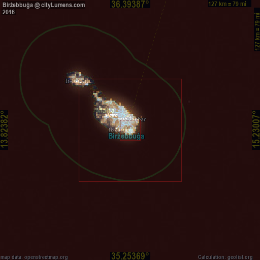
Birżebbuġa night lights from space
Night Light of Birżebbuġa from space (Malta) Src. Average luminocity for 10x10km area is 56.8759% and for 50x50km: 9.3801%.
Analysis of Birżebbuġa night lights 2016
Square area 10x10 km:
100  13.29%
90-99 15.73%
80-89 9.97%
70-79 8.92%
60-69 6.29%
50-59 1.75%
40-49 1.4%
30-39 2.97%
20-29 12.94%
10-19 22.03%
0-9 4.72%
13.29%90-99
15.73%80-89
9.97%70-79
8.92%60-69
6.29%50-59
1.75%40-49
1.4%30-39
2.97%20-29
12.94%10-19
22.03%0-9
4.72%Square area 50x50 km:
100 1.76%
90-99 1.93%
80-89 0.92%
70-79 1.29%
60-69 1.72%
50-59 0.55%
40-49 0.95%
30-39 1.15%
20-29 2.46%
10-19 5.01%
0-9 82.24%
1.76%90-99
1.93%80-89
0.92%70-79
1.29%60-69
1.72%50-59
0.55%40-49
0.95%30-39
1.15%20-29
2.46%10-19
5.01%0-9
82.24%Clear (daylight) street map image can be seen on geolist.org.
Map coordinates:
36° 23' 37.9" North, 13° 49' 25.8" East
35° 49' 33" North, 14° 31' 37" East
35° 15' 13.3" North, 15° 13' 48.3" East
Some cities around Birżebbuġa sort by population:
• Żejtun
3.4 km =2.1 mi,  9°
9°
• Żurrieq
4.8 km =3 mi,  277°
277°
• Tarxien
4.6 km =2.9 mi,  346°
346°
• Għaxaq
2.7 km =1.7 mi,  340°
340°
• Marsaxlokk
2.3 km =1.4 mi,  39°
39°
• Gudja
3.4 km =2.1 mi,  320°
320°
• Kirkop
4.2 km =2.6 mi,  295°
295°
• Safi
3.9 km =2.4 mi, 281°
2563189 (p: 8,668)
Sources (retrieved 2019-11-25):
» Earth at Night: Flat Maps 2012, 2016