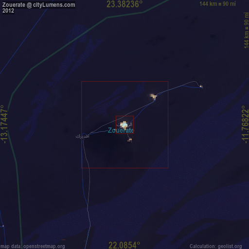
Zouerate night lights from space
Night Light of Zouerate (Tiris Zemmour) from space (Mauritania) Src. Average luminocity for 10x10km area is 13.2778% and for 50x50km: 1.0074%.
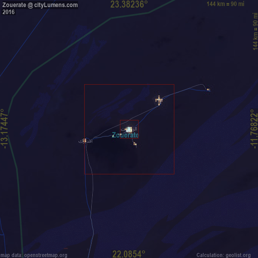
Analysis of Zouerate night lights 2016
Square area 10x10 km:
 3.17%
3.17%90-99
2.38%80-89
1.59%70-79
1.79%60-69
0.6%50-59
0.79%40-49
0.79%30-39
0.79%20-29
0.99%10-19
2.78%0-9
84.33%Square area 50x50 km:
0.14%90-99
0.11%80-89
0.13%70-79
0.13%60-69
0.09%50-59
0.24%40-49
0.16%30-39
0.13%20-29
0.09%10-19
0.12%0-9
98.67%Clear (daylight) street map image can be seen on geolist.org.
Map coordinates:
23° 22' 56.5" North, 13° 10' 28.1" West
22° 44' 7.5" North, 12° 28' 16.8" West
22° 5' 7.4" North, 11° 46' 5.6" West
Some cities around Zouerate sort by population:
• Laayoune, EH
495.2 km =307.7 mi,  351°
351°
• Dakhla, EH
371.6 km =230.9 mi,  286°
286°
• Smara, MA
452.3 km =281 mi,  10°
10°
• Atar
253.7 km =157.6 mi,  193°
193°
• Akjoujt
387 km =240.5 mi,  210°
210°
• Laayoune Plage, EH
494.1 km =307 mi, 348°
• Gueltat Zemmour, MA
267.9 km =166.5 mi,  2°
2°
• Tidjikja
477.2 km =296.5 mi,  166°
166°
2375558 (p: 38,000)
Sources (retrieved 2019-11-25):
» Earth at Night: Flat Maps 2012, 2016