Ouro Sogui night lights from space
Night Light of Ouro Sogui (Matam) from space (Senegal) Src. Average luminocity for 10x10km area is 1.3074% and for 50x50km: 0.1404%.
Analysis of Ouro Sogui night lights 2016
Square area 10x10 km:
 0%
0%90-99
0%80-89
0%70-79
0%60-69
0%50-59
0.65%40-49
1.08%30-39
0%20-29
1.73%10-19
0%0-9
96.54%Square area 50x50 km:
0%90-99
0.03%80-89
0%70-79
0%60-69
0%50-59
0.04%40-49
0.13%30-39
0%20-29
0.07%10-19
0.03%0-9
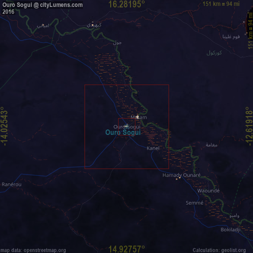
99.7%Clear (daylight) street map image can be seen on geolist.org.
Map coordinates:
16° 16' 55" North, 14° 1' 31.5" West
15° 36' 21.2" North, 13° 19' 20.3" West
14° 55' 39.3" North, 12° 37' 9" West
Some cities around Ouro Sogui sort by population:
• Kaédi, MR
63.6 km =39.5 mi,  342°
342°
• Sélibaby, MR
131.8 km =81.9 mi,  112°
112°
• Matam
9.1 km =5.7 mi,  52°
52°
• Kanel
20.2 km =12.6 mi,  129°
129°
• Waoundé
61.8 km =38.4 mi, 128°
• Diawara
105.8 km =65.7 mi, 127°
• Goléré
110.3 km =68.5 mi,  310°
310°
• Sémé
61.1 km =38 mi,  138°
138°
2246922 (p: 14,888)
Sources (retrieved 2019-11-25):
» Earth at Night: Flat Maps 2012, 2016