Nouadhibou night lights from space
Night Light of Nouadhibou (Dakhlet Nouadhibou) from space (Mauritania) Src. Average luminocity for 10x10km area is 27.3929% and for 50x50km: 1.5566%.
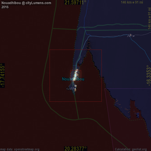

Analysis of Nouadhibou night lights 2016
Square area 10x10 km:
 6.55%
6.55%90-99
5.16%80-89
1.39%70-79
1.59%60-69
1.98%50-59
5.75%40-49
4.37%30-39
1.19%20-29
3.37%10-19
27.98%0-9
40.67%Square area 50x50 km:
0.28%90-99
0.24%80-89
0.09%70-79
0.08%60-69
0.09%50-59
0.39%40-49
0.25%30-39
0.08%20-29
0.22%10-19
1.27%0-9
97%Clear (daylight) street map image can be seen on geolist.org.
Map coordinates:
21° 35' 49.6" North, 17° 44' 29.6" West
20° 56' 30.8" North, 17° 2' 18.3" West
20° 17' 1.6" North, 16° 20' 7.1" West
Some cities around Nouadhibou sort by population:
• Nouakchott
336.4 km =209 mi,  160°
160°
• Dakhla, EH
324.6 km =201.7 mi,  20°
20°
• Rosso
509.2 km =316.4 mi,  165°
165°
• Atar
417.6 km =259.5 mi,  96°
96°
• Akjoujt
306.9 km =190.7 mi,  115°
115°
• Arafat
340.8 km =211.8 mi, 160°
• Dar Naim
335.9 km =208.7 mi, 159°
• Tevragh Zeina
334.7 km =208 mi, 160°
2377457 (p: 72,337)
Sources (retrieved 2019-11-25):
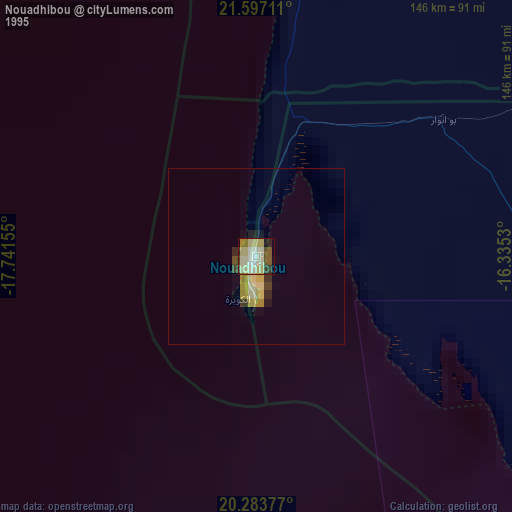
» NASA, Earths city lights 1995
» NASA city lights 2003
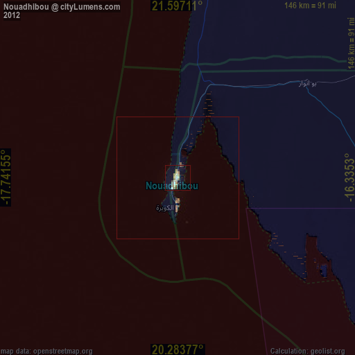
» Earth at Night: Flat Maps 2012, 2016